Skip to content
La Via delle Malghe | Altopiano dei Sette Comuni
#sweethomealtopiano
La Via delle Malghe | Altopiano dei Sette ComuniLa Via delle Malghe | Altopiano dei Sette Comuni
  • Home
  • Project
    • The project “The Malga Trail”
    • Press conference and Press kit
    • The Malga: history, environment, territory, management
    • Tourist accomodations in the Malga: good practices
    • Orientwalking among the malgas
    • Interview with Gianbattista Rigoni Stern
  • Malgas
  • Itineraries
    • All itineraries
    • A | Between Biancoia and Monte Corno
      • A1 | Val Biancoia and surrounding areas
      • A2 | Bertiaga – Valle Camporossignolo – Valle Granezza di Gallio – Monte Corno
      • A3 | Monte Corno – Campo Rossignolo
    • B | The Three Mountains
      • B1 | Cima Ekar – Monte Valbella – Bertigo – Turcio
      • B2 | Valbella – Cima Ekar
    • C | Melette of Foza and Gallio
      • C1 | Trail around Melette of Foza and Gallio by bike
      • C2 | Melette of Foza walking trail
    • D | Piana di Marcesina, Valmaron and Ortigara
      • D1 | Valmaron – Marcesina – Lozze – Fiara
      • D2 | Marcesina – Lozze – Fiara
      • D3 | Valmaron and Marcesina with road bikes
      • D4 | Valmaron – Forcellona – Marcesina
    • E | Along the ridge of Longara
      • E1 | Longara and Campomulo
    • F | Monte Zebio, in the heart of the Plateau
      • F1 | Forte Interrotto – Val Galmarara – Zingarella – Zebio – Val di Nos
      • F2 | Zebio and Zingarella
    • G | Facing Cima Portule
      • G1 | Larici – Portule – Galmarara
    • H | The high pastures of Larici
      • H1 | Val Formica, Dosso and Porta Manazzo
    • I | On the slopes of Monte Verena
      • I1 | Roana Lake – Verena – Campolongo
      • I2 | Monte Verena trail
      • I3 | Ghertele Ecological Museum
      • I4 | Rotzo Malgas trail
    • L | A window onto the plain
      • L1 | Asiago – Val Magnaboschi – Monte Paù – Monte Corno
      • L2 | Buse di Carriola – Bocchetta Paù – Foraoro
    • Other itineraries on the Plateau: the “Alta Via della Grande Guerra”
  • Services
    • Tourist information
    • E-bike recharge – Rental and purchase spots
    • Winter sports
    • GPS route
    • Webcam
  • Contacts
  • Italian
  • German
  • Home
  • Project
    • The project “The Malga Trail”
    • Press conference and Press kit
    • The Malga: history, environment, territory, management
    • Tourist accomodations in the Malga: good practices
    • Orientwalking among the malgas
    • Interview with Gianbattista Rigoni Stern
  • Malgas
  • Itineraries
    • All itineraries
    • A | Between Biancoia and Monte Corno
      • A1 | Val Biancoia and surrounding areas
      • A2 | Bertiaga – Valle Camporossignolo – Valle Granezza di Gallio – Monte Corno
      • A3 | Monte Corno – Campo Rossignolo
    • B | The Three Mountains
      • B1 | Cima Ekar – Monte Valbella – Bertigo – Turcio
      • B2 | Valbella – Cima Ekar
    • C | Melette of Foza and Gallio
      • C1 | Trail around Melette of Foza and Gallio by bike
      • C2 | Melette of Foza walking trail
    • D | Piana di Marcesina, Valmaron and Ortigara
      • D1 | Valmaron – Marcesina – Lozze – Fiara
      • D2 | Marcesina – Lozze – Fiara
      • D3 | Valmaron and Marcesina with road bikes
      • D4 | Valmaron – Forcellona – Marcesina
    • E | Along the ridge of Longara
      • E1 | Longara and Campomulo
    • F | Monte Zebio, in the heart of the Plateau
      • F1 | Forte Interrotto – Val Galmarara – Zingarella – Zebio – Val di Nos
      • F2 | Zebio and Zingarella
    • G | Facing Cima Portule
      • G1 | Larici – Portule – Galmarara
    • H | The high pastures of Larici
      • H1 | Val Formica, Dosso and Porta Manazzo
    • I | On the slopes of Monte Verena
      • I1 | Roana Lake – Verena – Campolongo
      • I2 | Monte Verena trail
      • I3 | Ghertele Ecological Museum
      • I4 | Rotzo Malgas trail
    • L | A window onto the plain
      • L1 | Asiago – Val Magnaboschi – Monte Paù – Monte Corno
      • L2 | Buse di Carriola – Bocchetta Paù – Foraoro
    • Other itineraries on the Plateau: the “Alta Via della Grande Guerra”
  • Services
    • Tourist information
    • E-bike recharge – Rental and purchase spots
    • Winter sports
    • GPS route
    • Webcam
  • Contacts
  • Italian
  • German

Orientwalking among the malgas

You are here:
  1. Home
  2. Orientwalking among the malgas

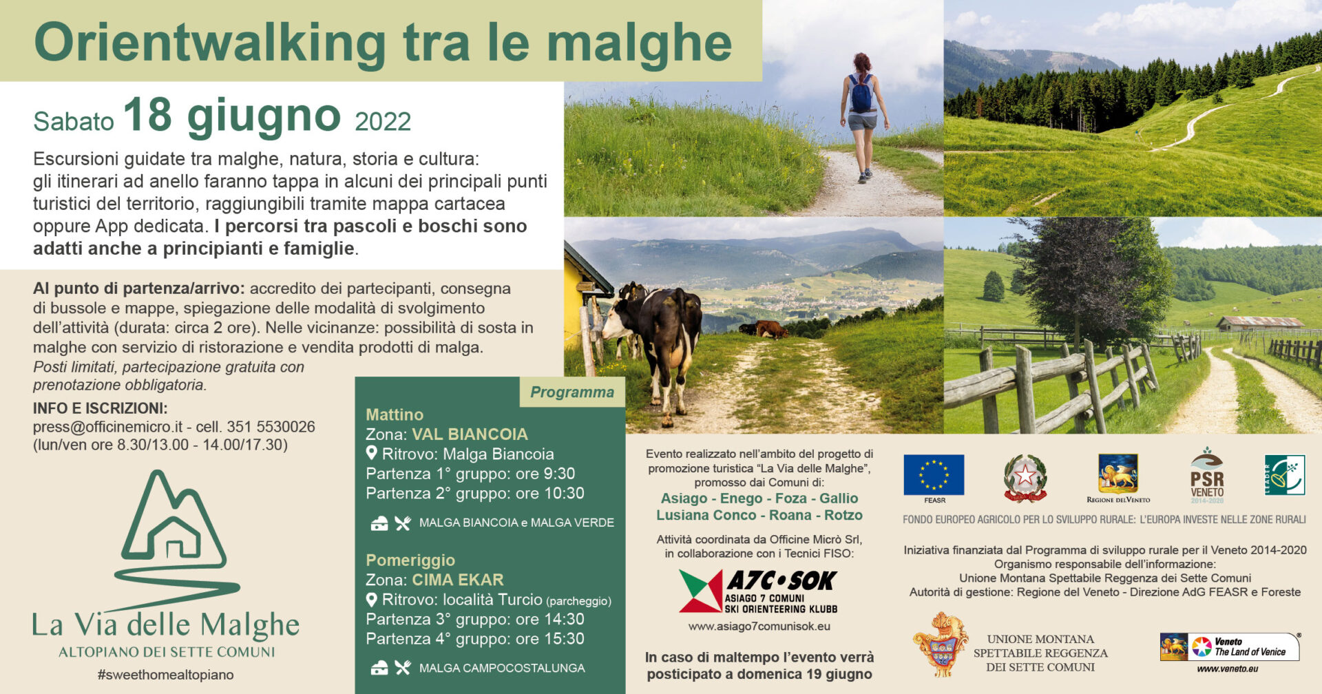
Orientwalking on the Malga Trail of the Plateau of the Seven Municipalities

Saturday 18th June, 2022

Val Biancoia and Cima Ekar

The event is an integral part of the project “The Malga Trail” created by Unione Montana Spettabile Reggenza dei Sette Comuni with the European Agricultural Found for Rural Development.
Orientwalking on the Malga Trail of the Plateau of the Seven Municipalities

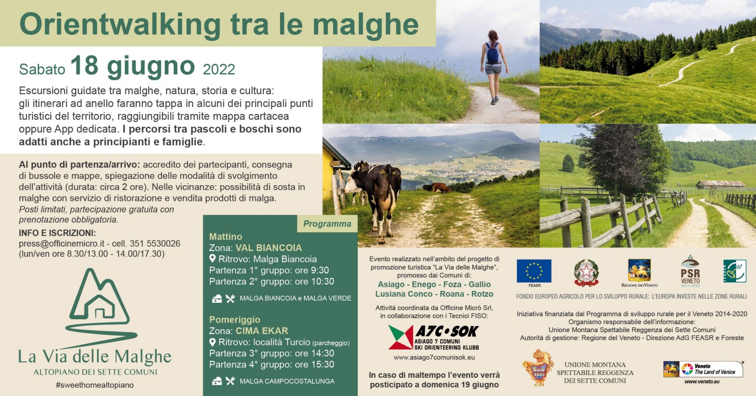
Saturday 18th June, 2022
Val Biancoia and Cima Ekar

The event is an integral part of the project “The Malga Trail” created by ’Unione Montana Spettabile Reggenza dei Sette Comuni with the European Argricultural Found for Rural Development.
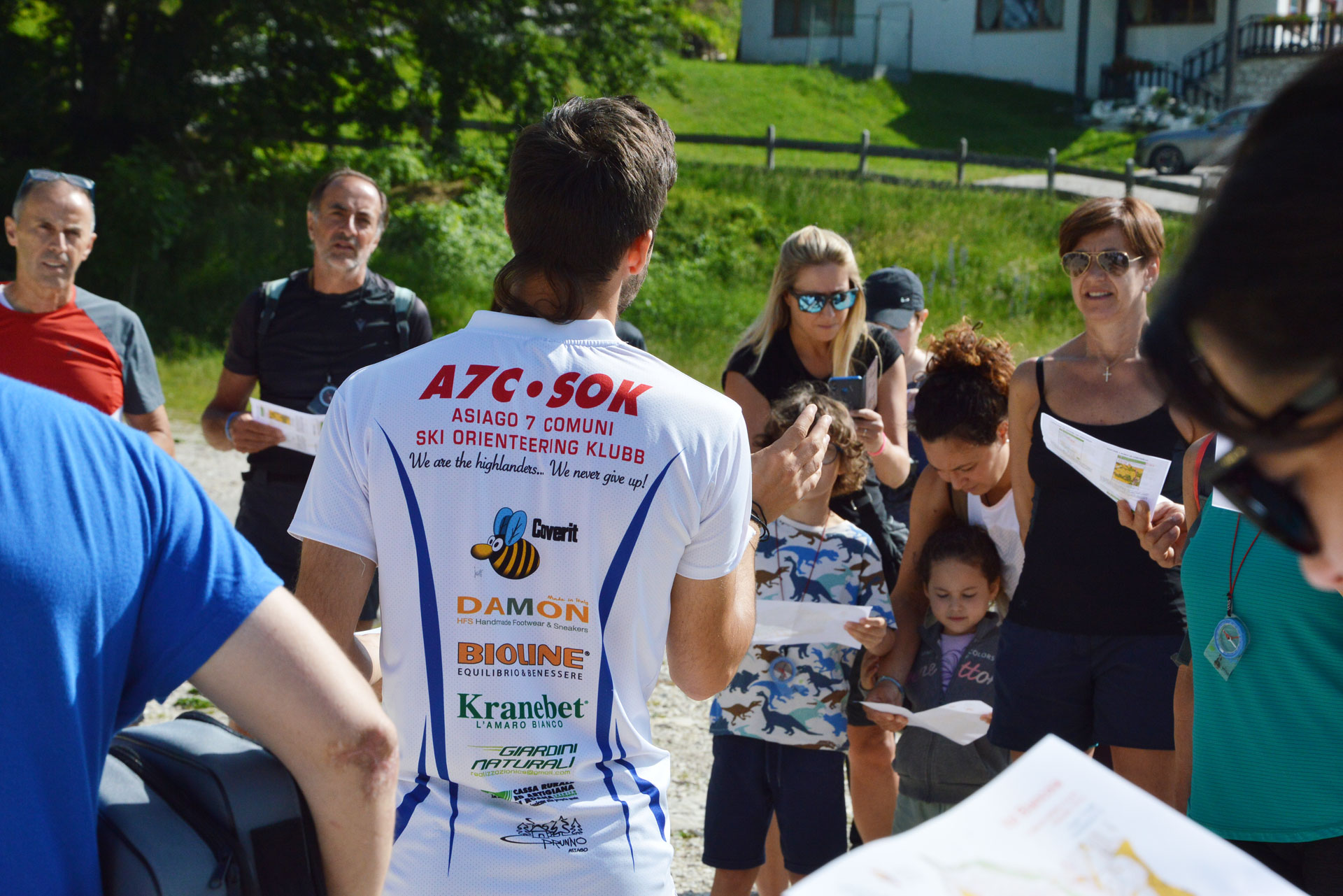
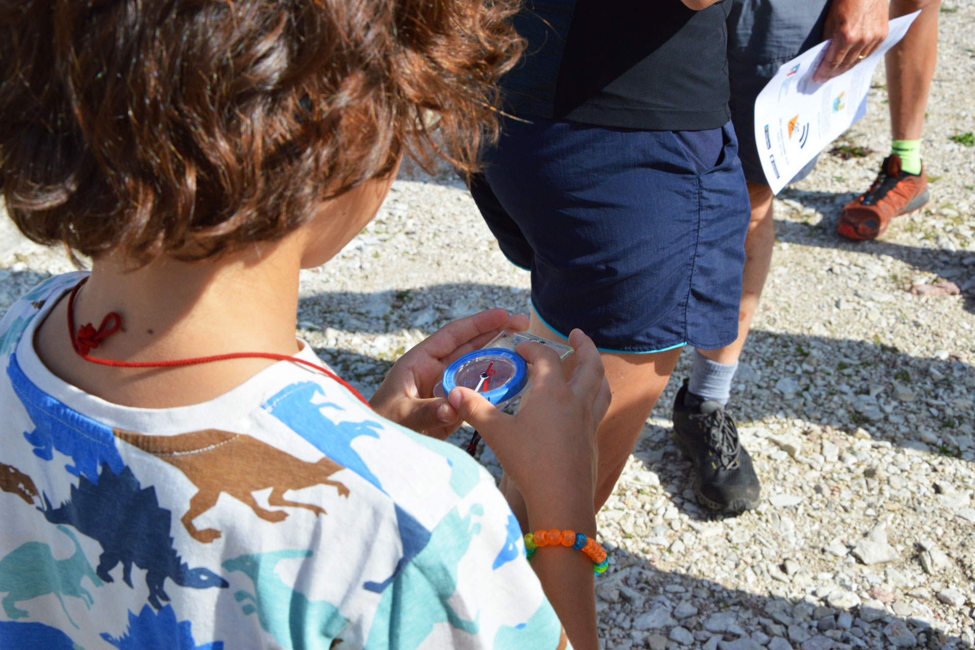
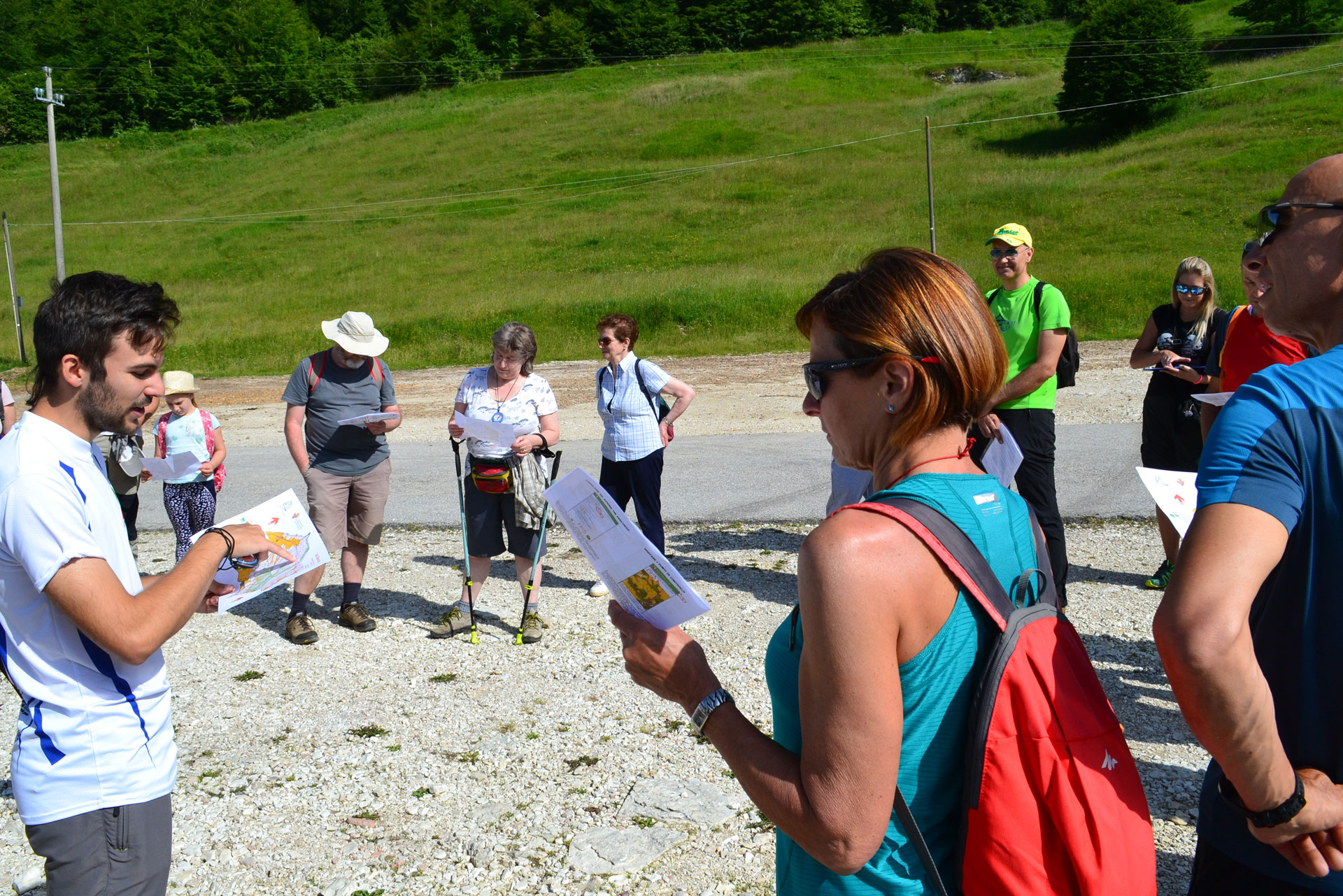
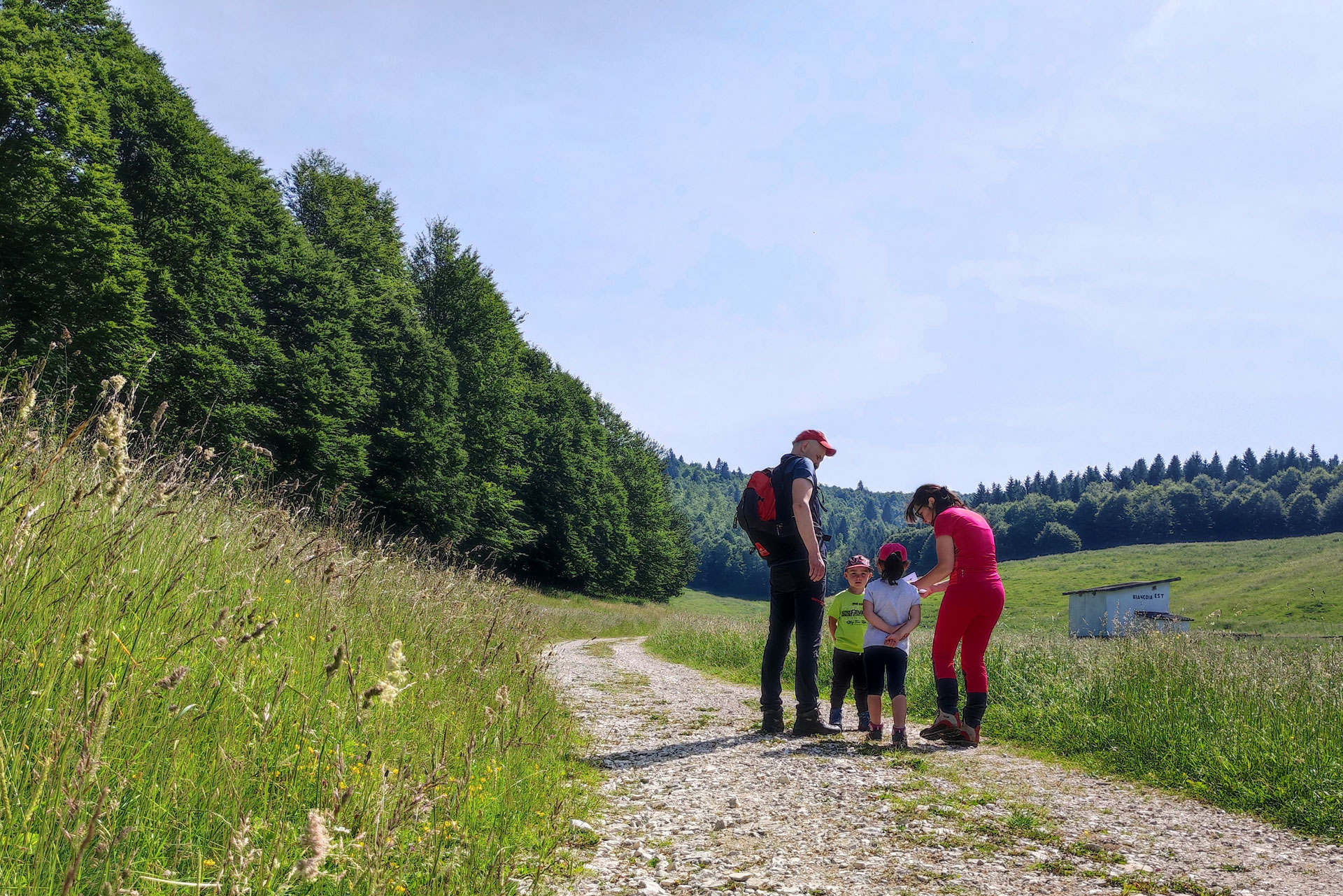
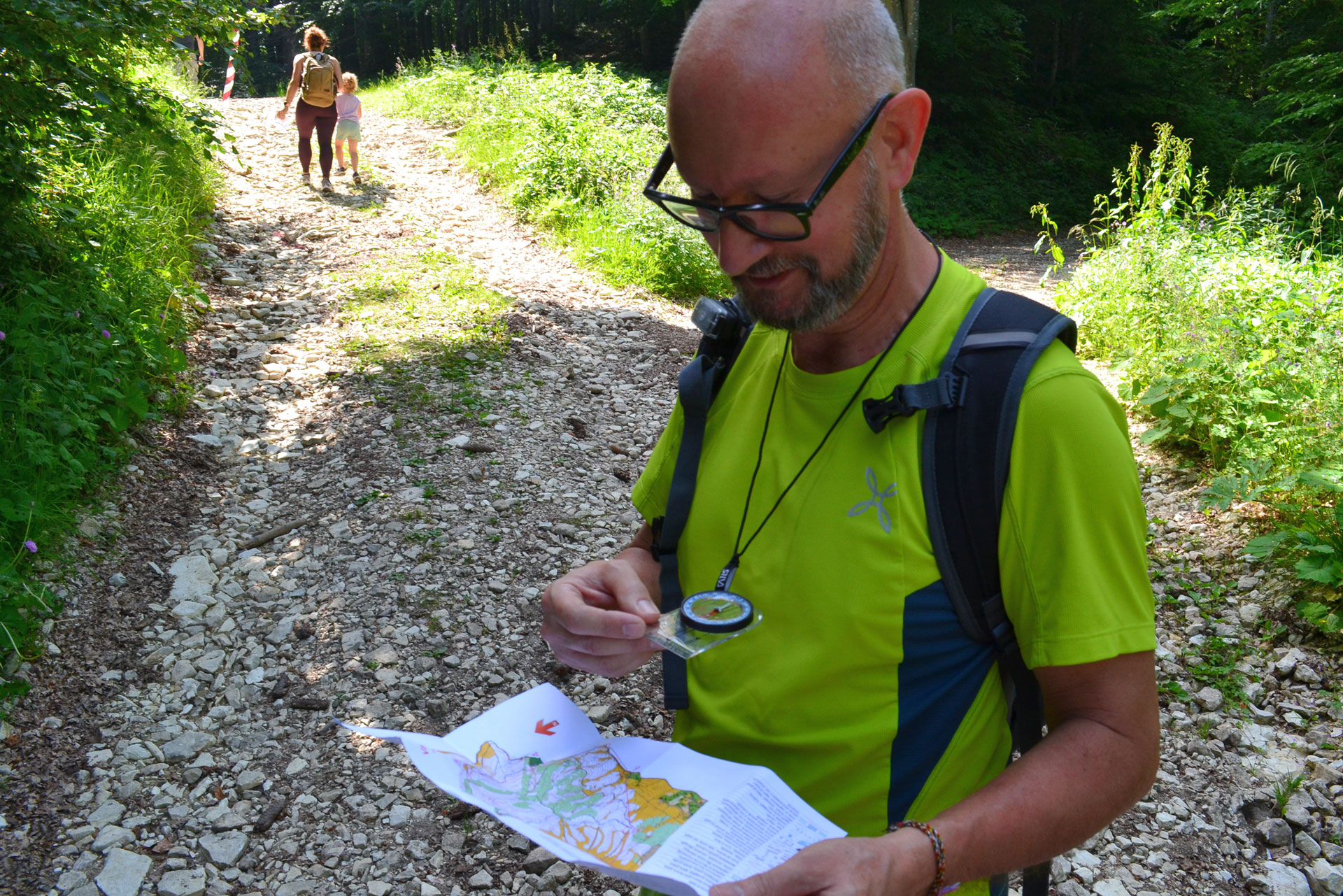
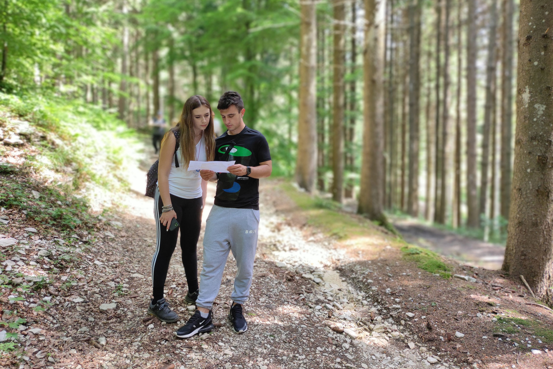
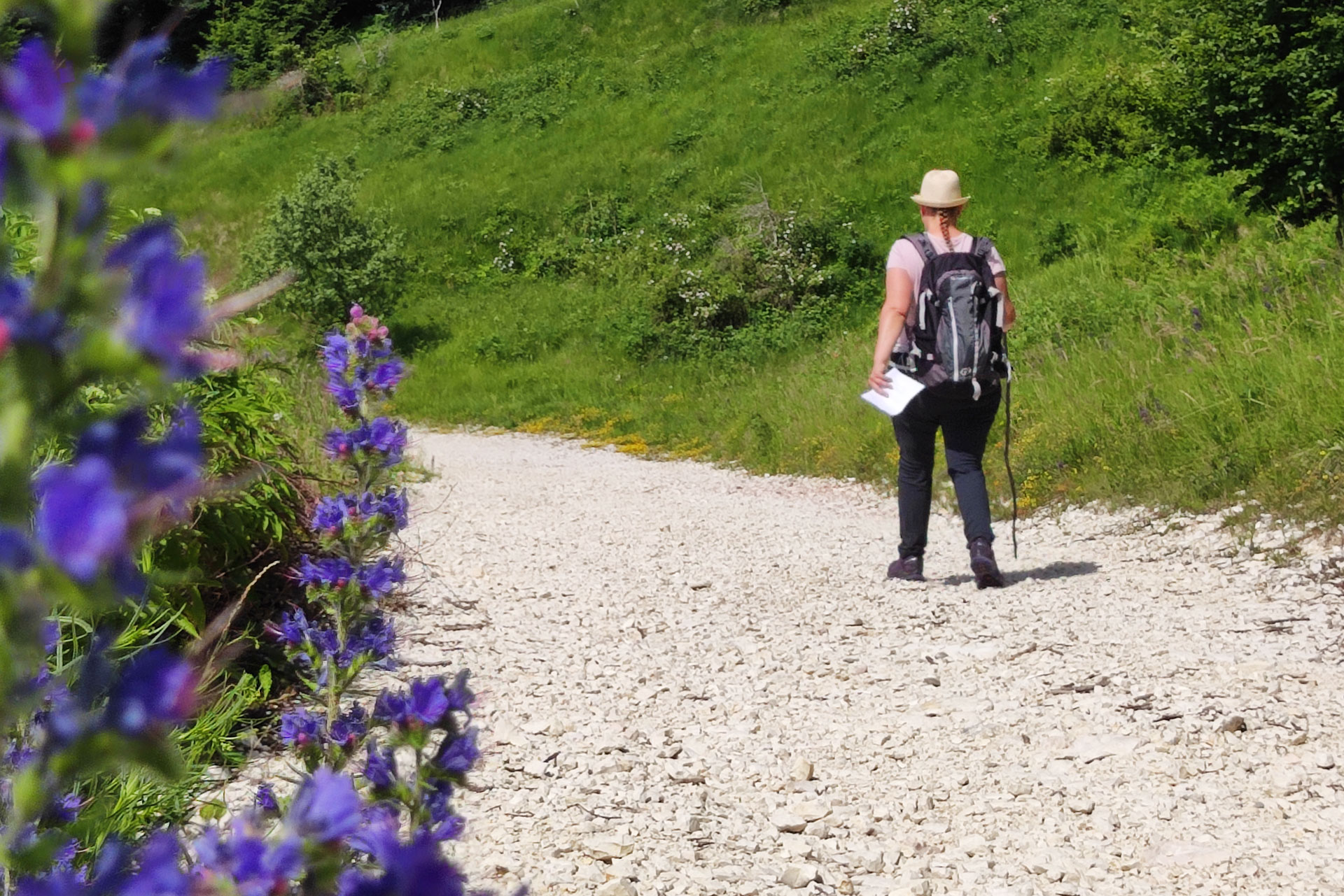
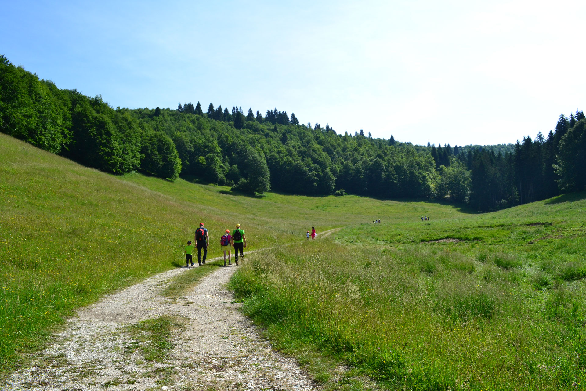
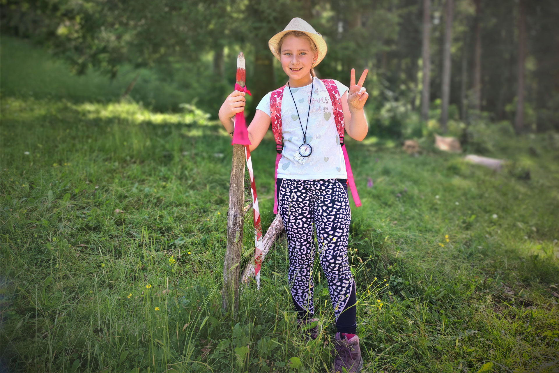
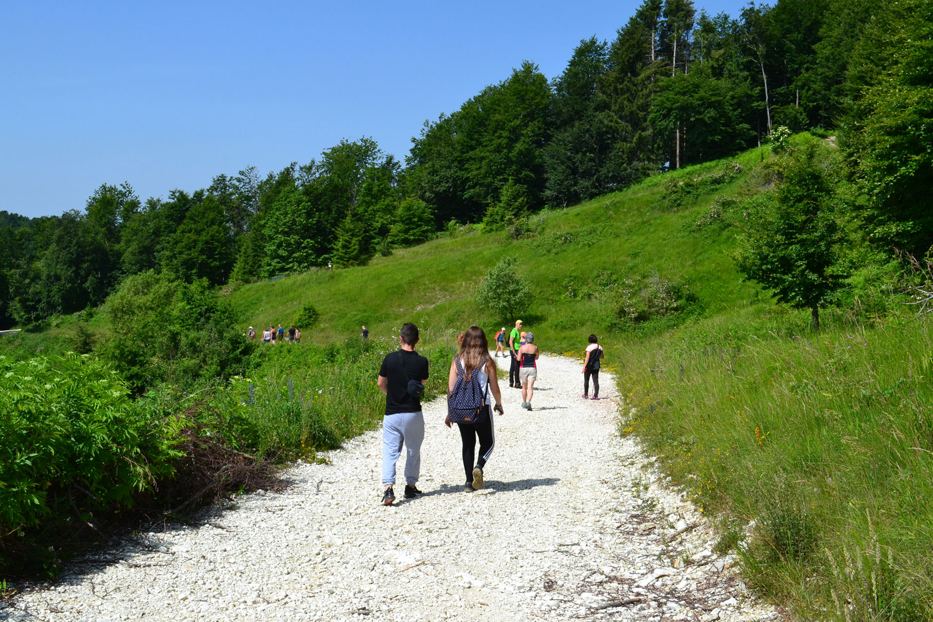
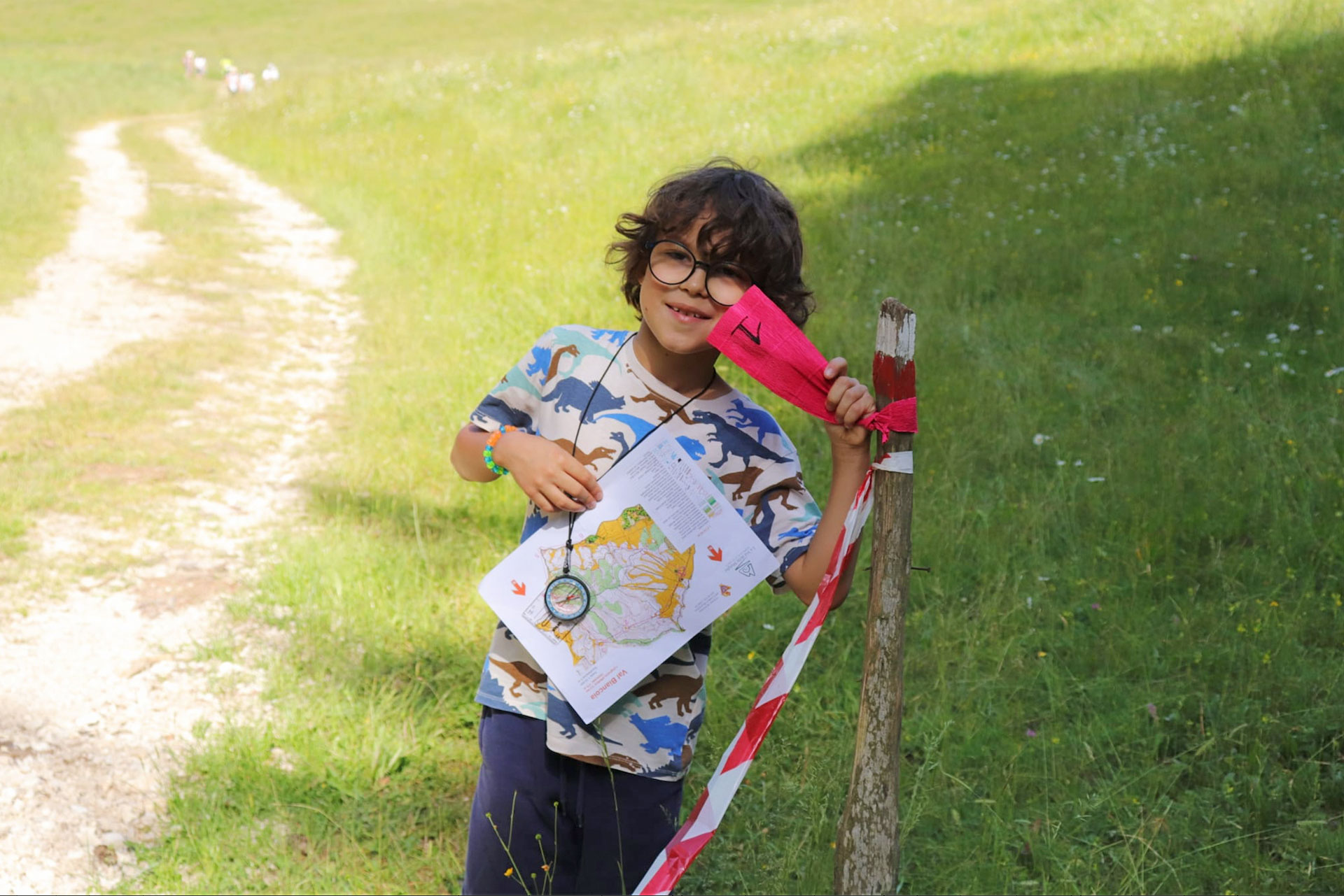
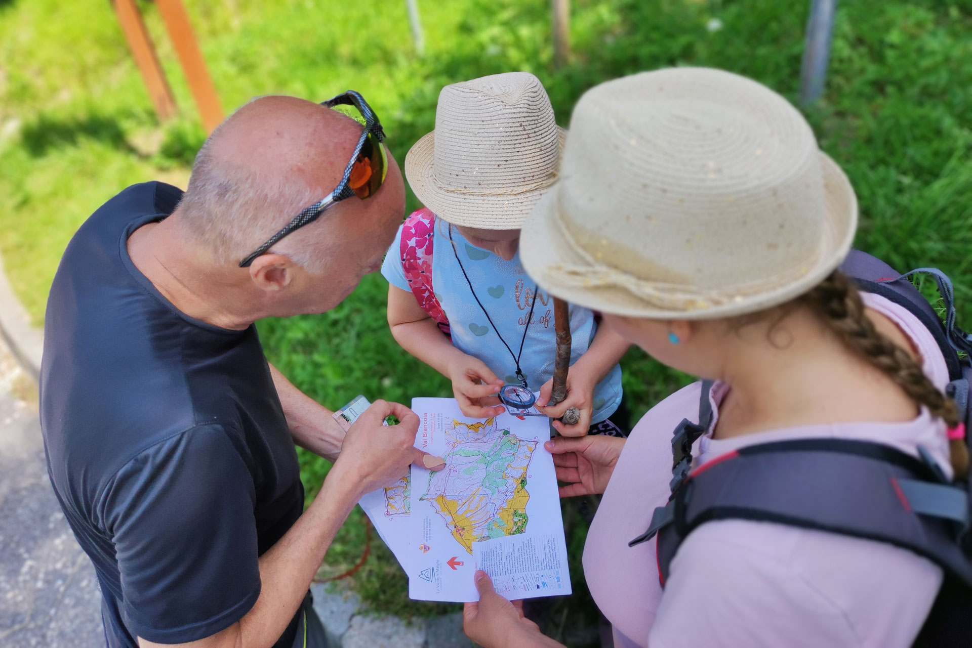
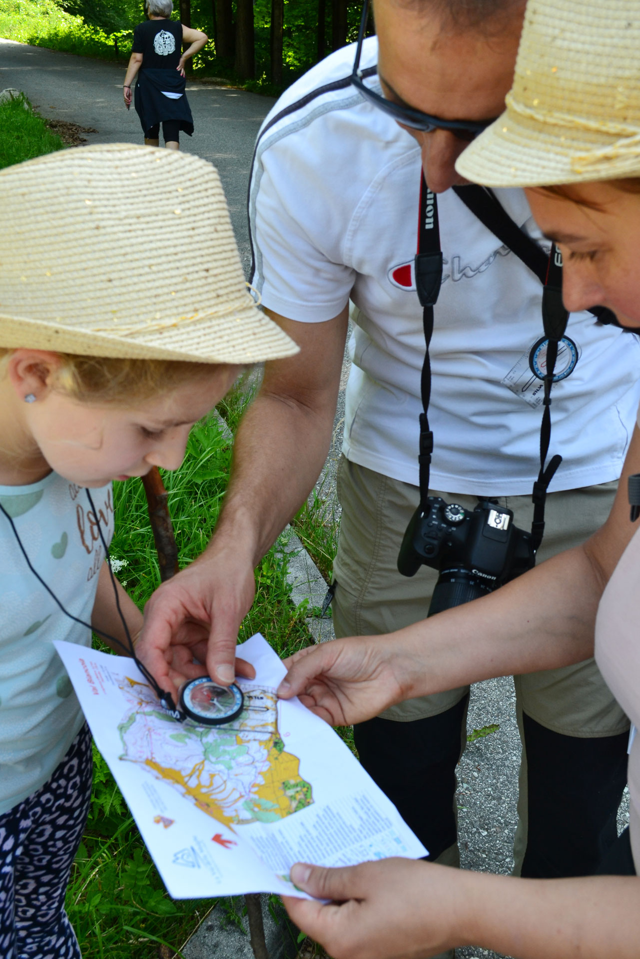
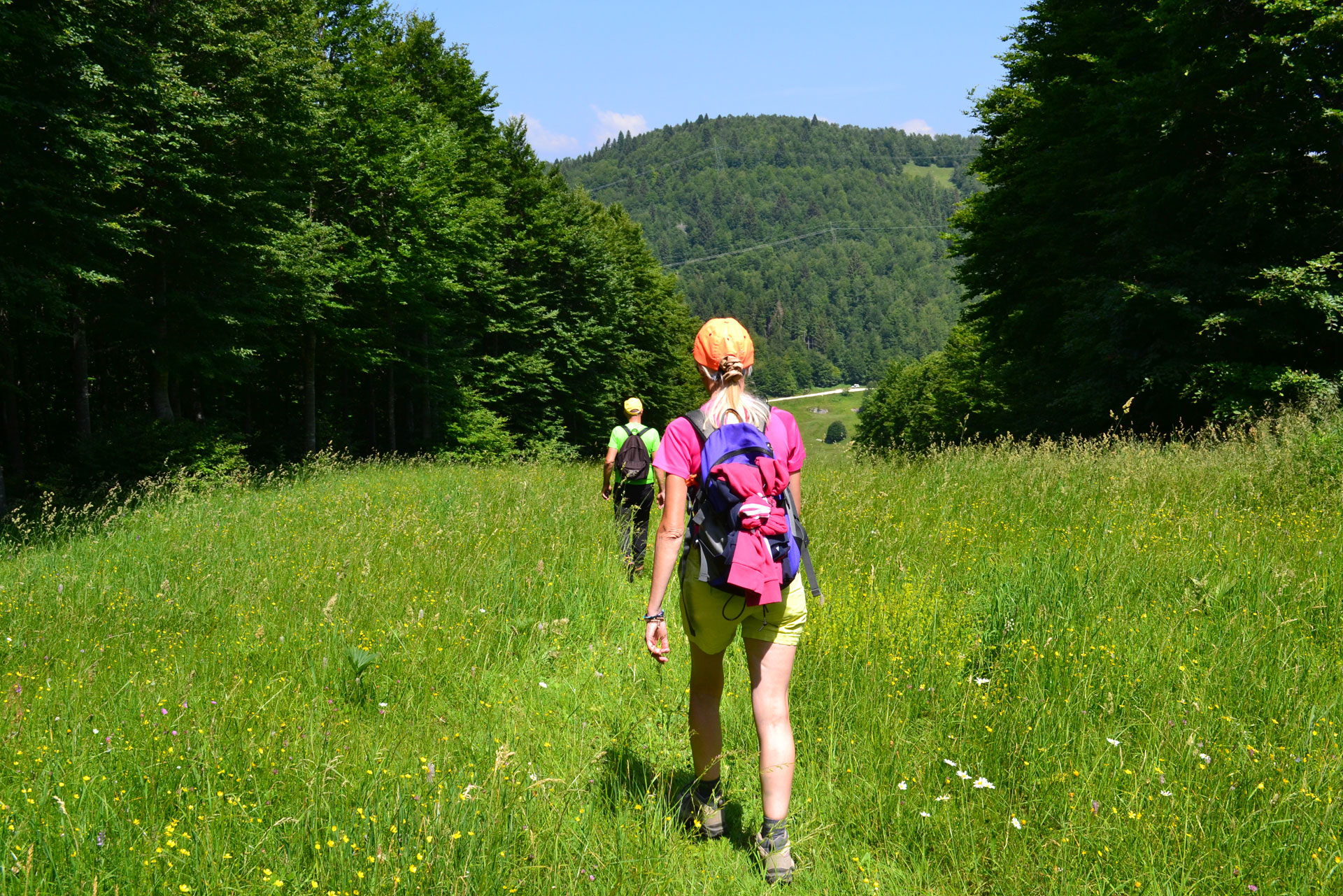
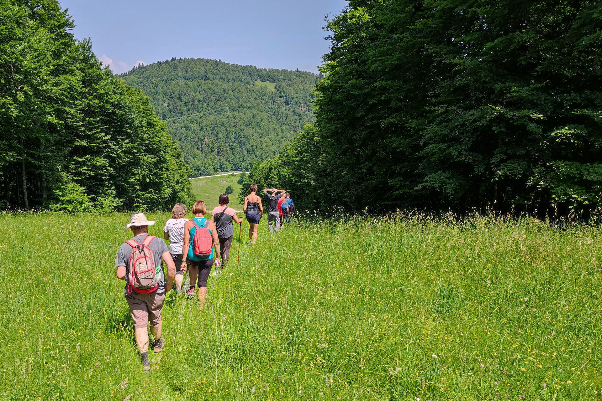
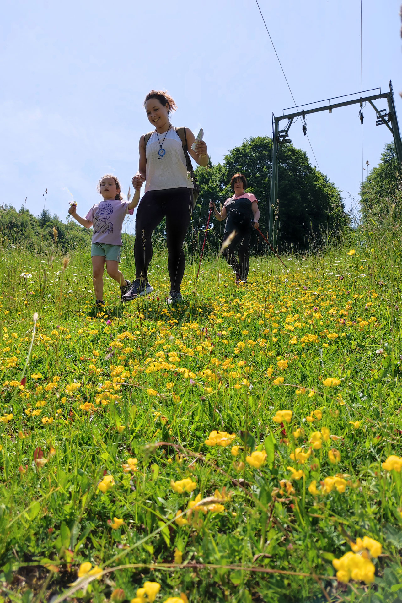
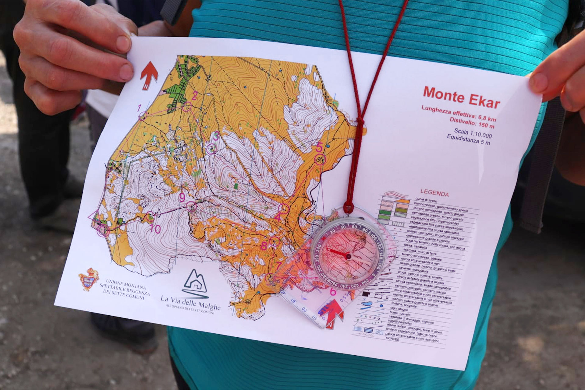
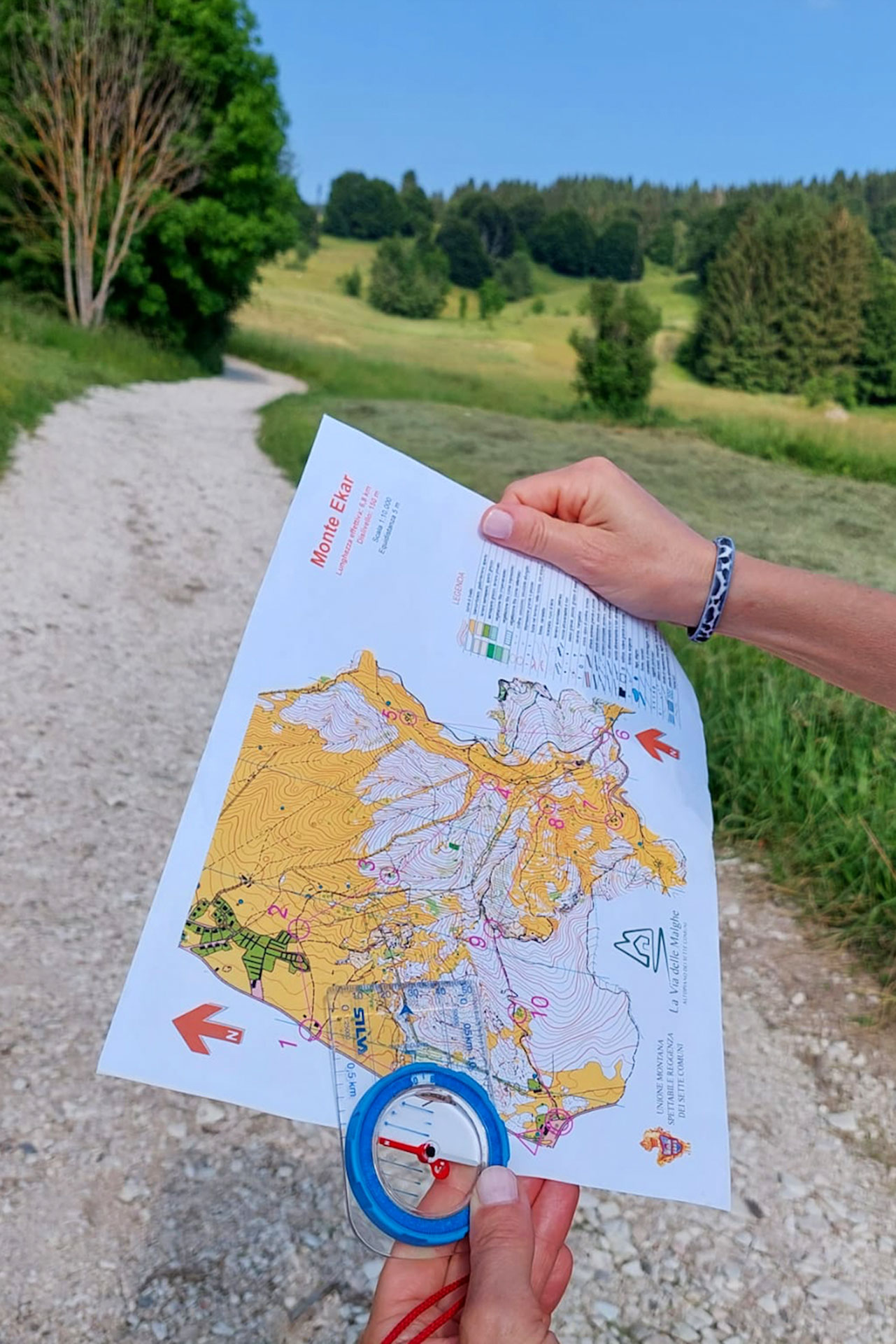
Through the “Malga Trail” project the aim was to promote an Orientwalking event that consists of a power walk with a map and compass performed without chronometric control, which gives great importance to recreational orientation. Unlike sport Orienteering, this activity doesn’t demand any type of specific technical preparation and doesn’t focus on performance. In fact, it represents a great response to the evermore often request of open-air excursions good for beginners and families.

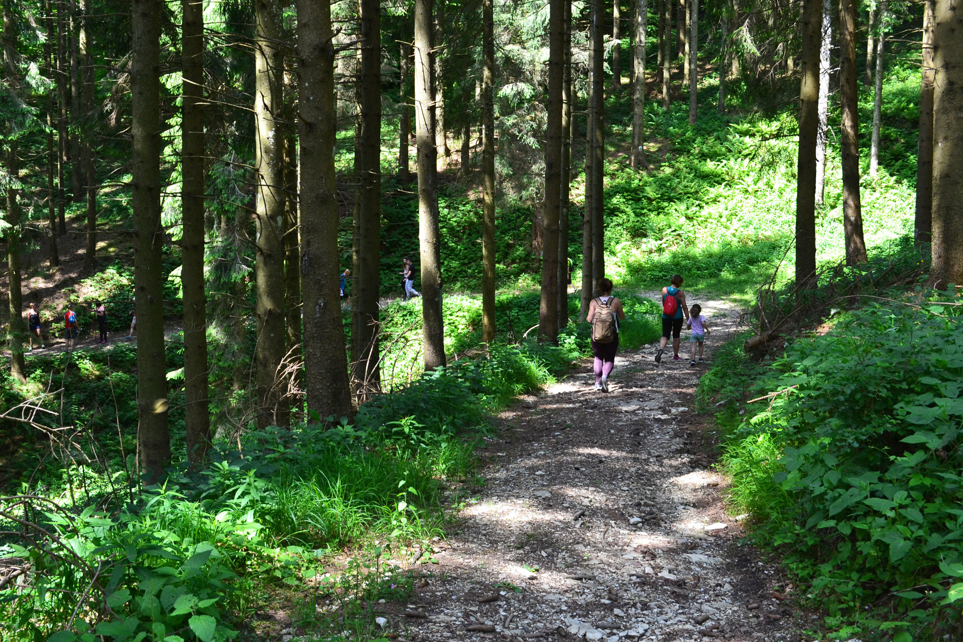
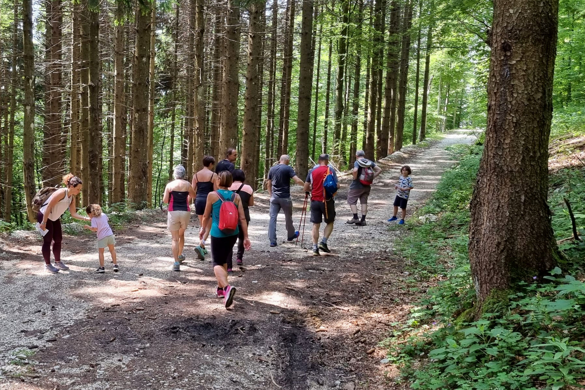
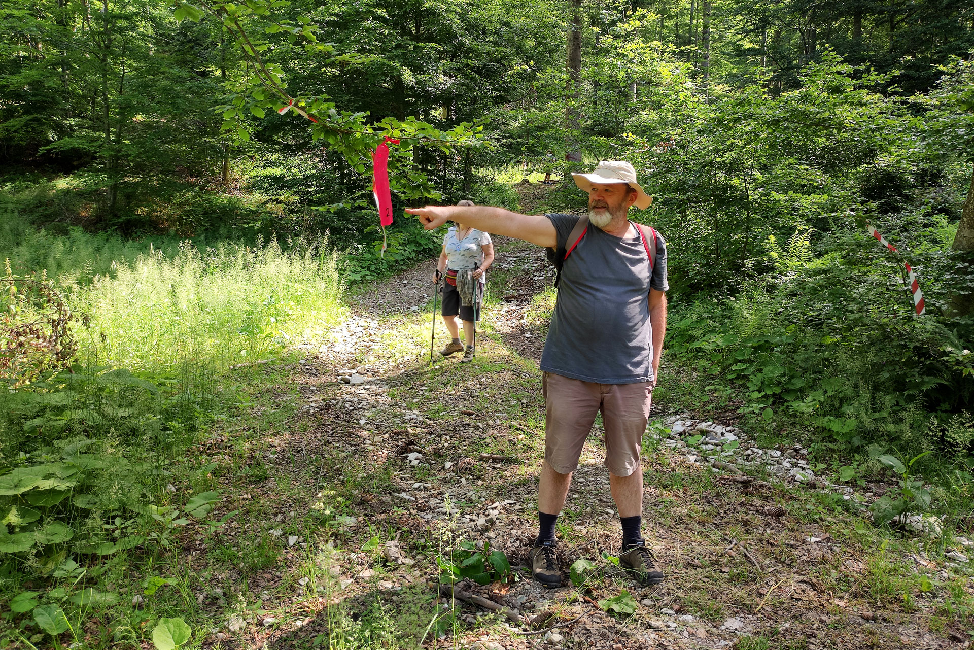
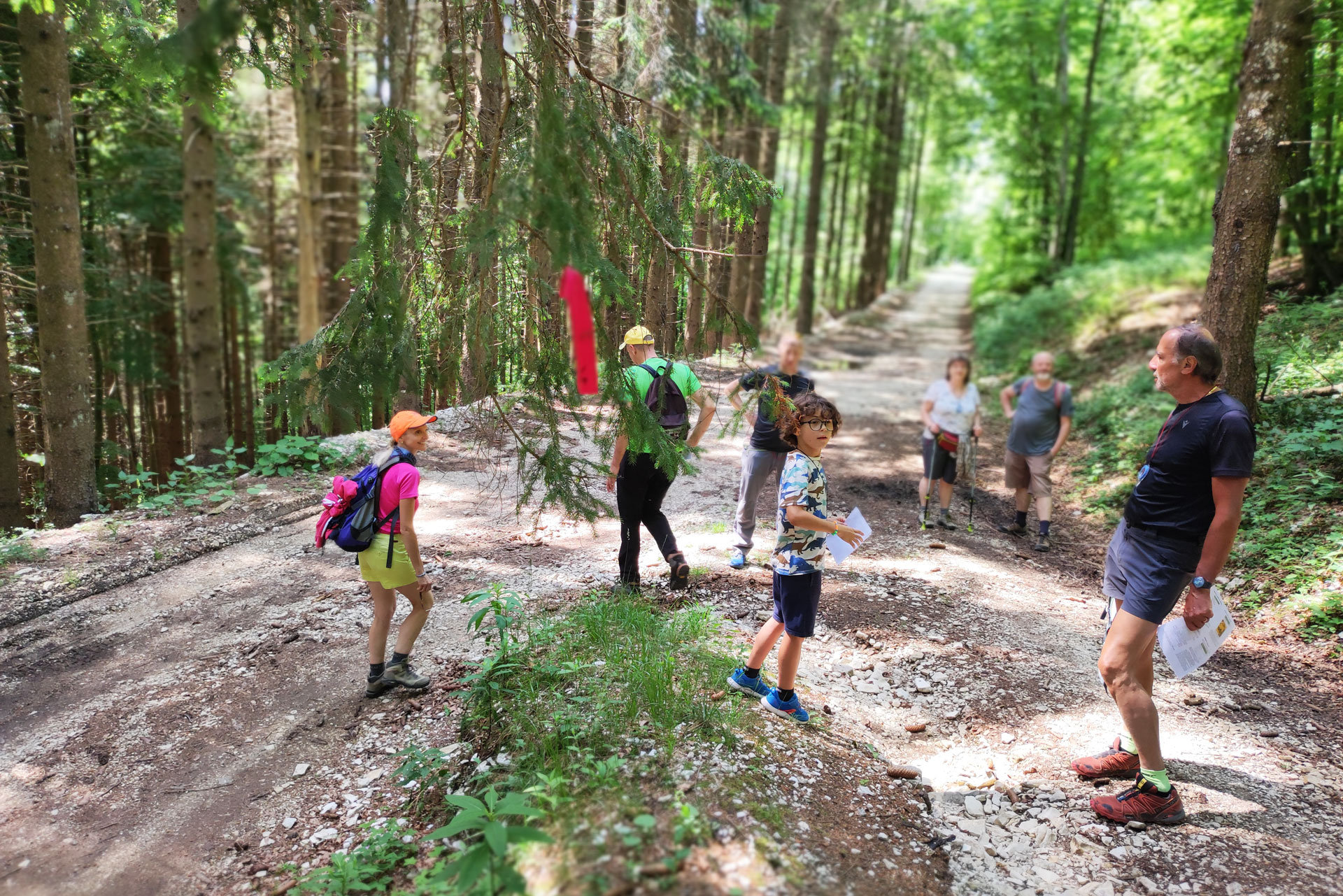
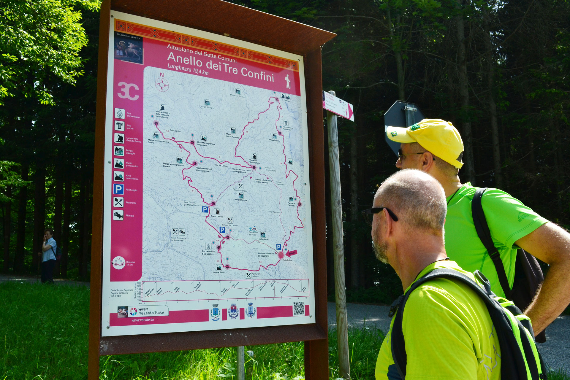
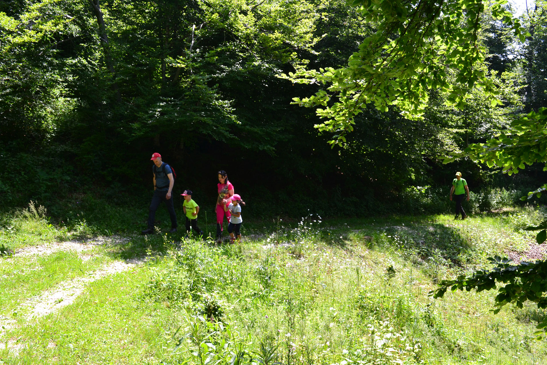
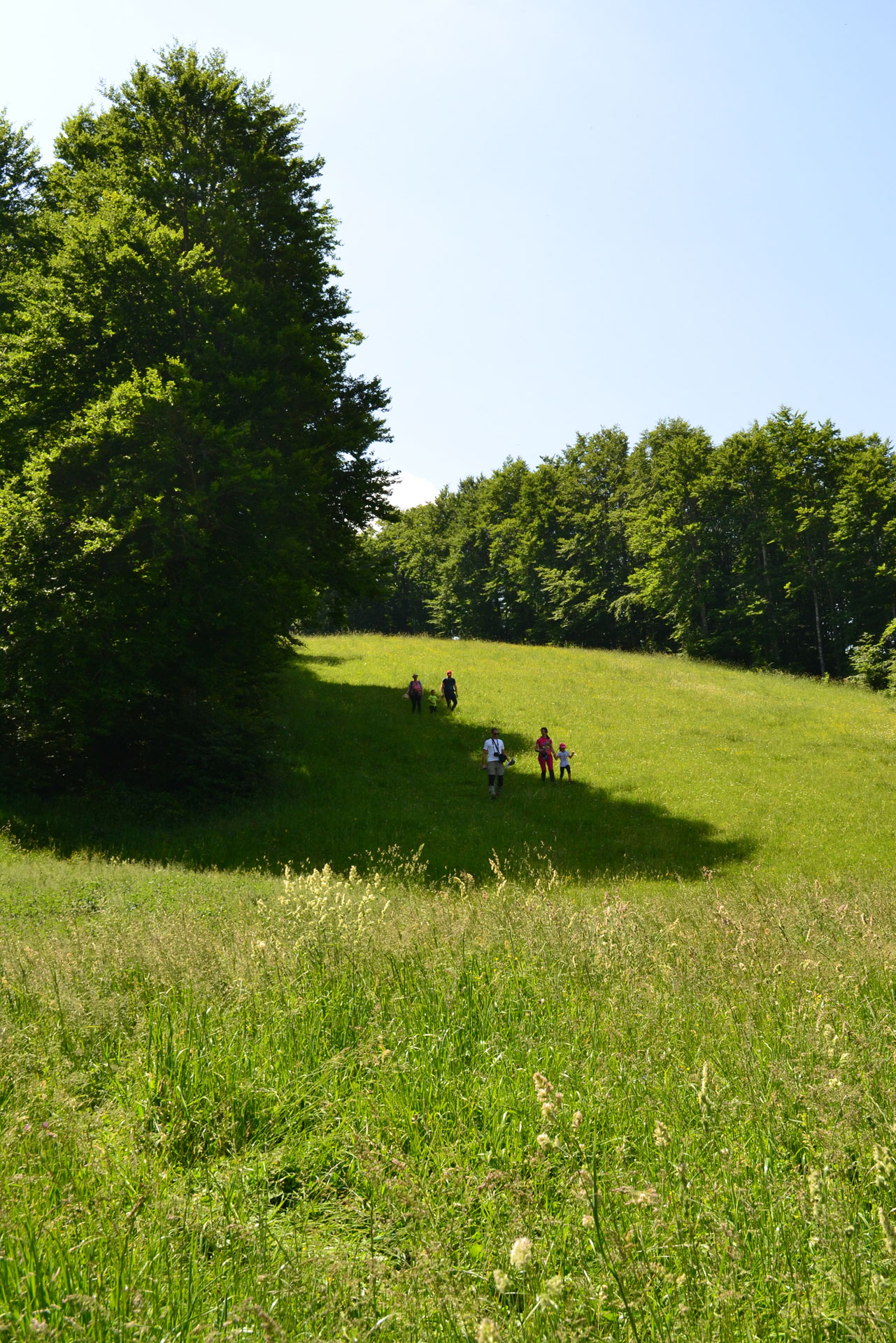
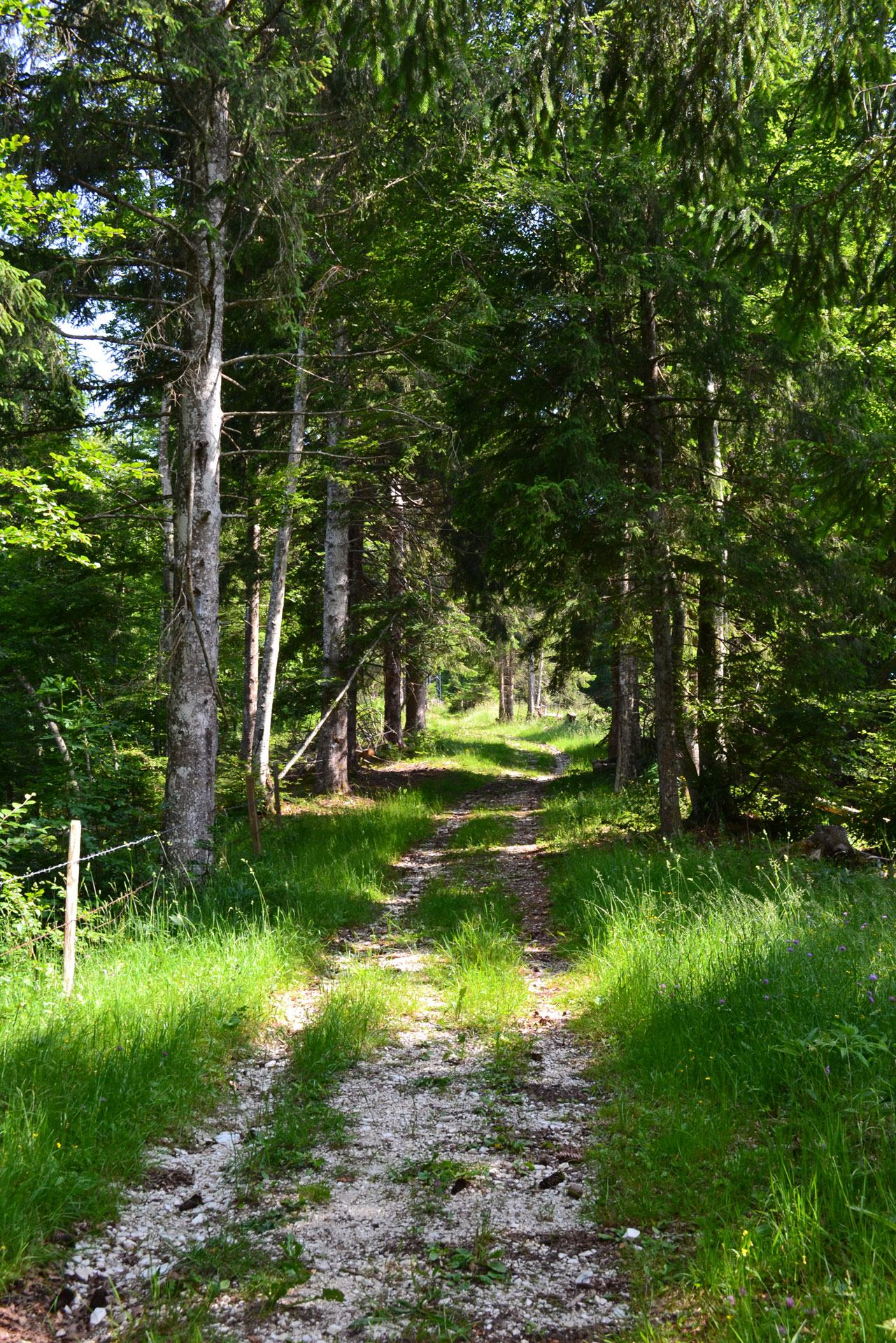
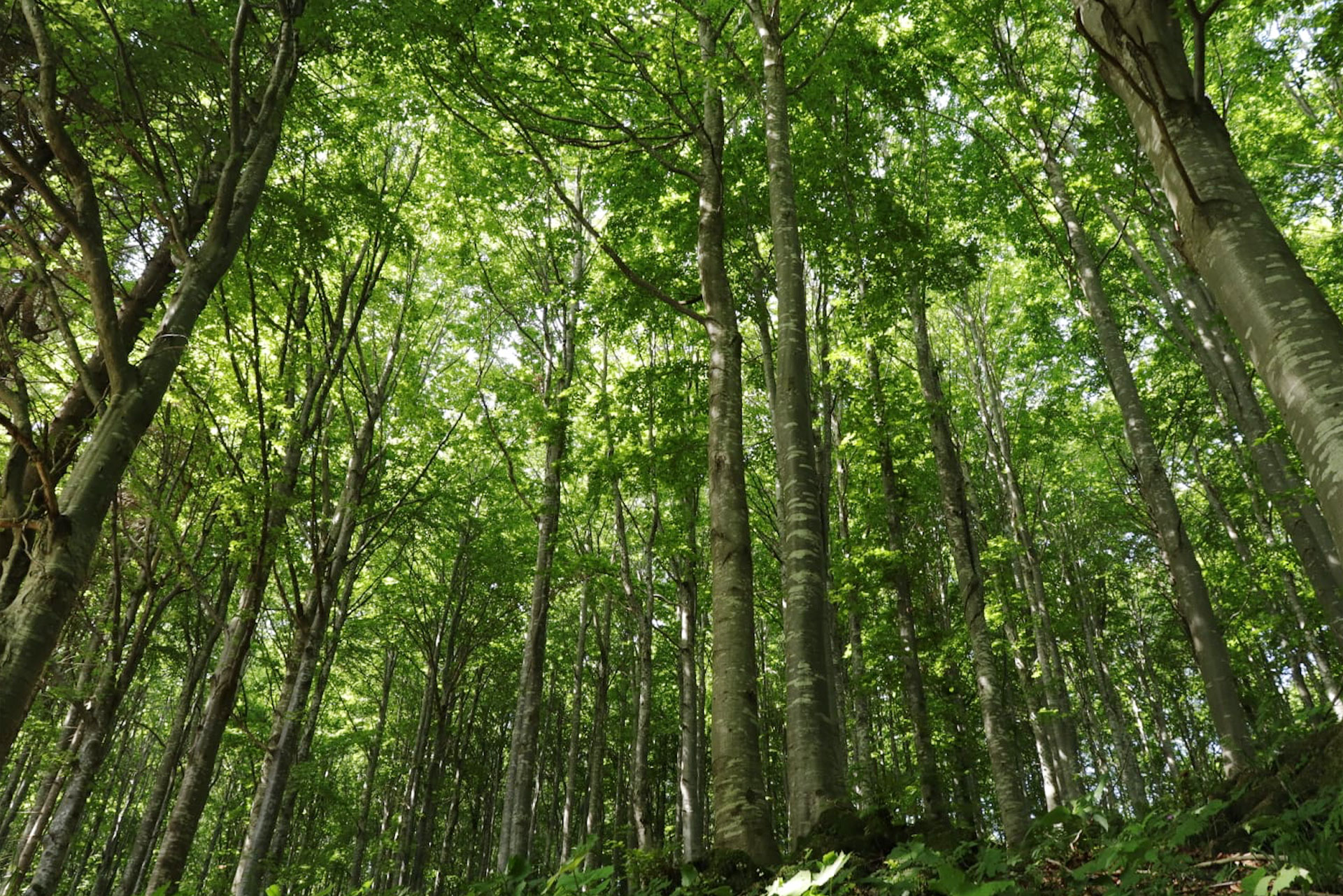
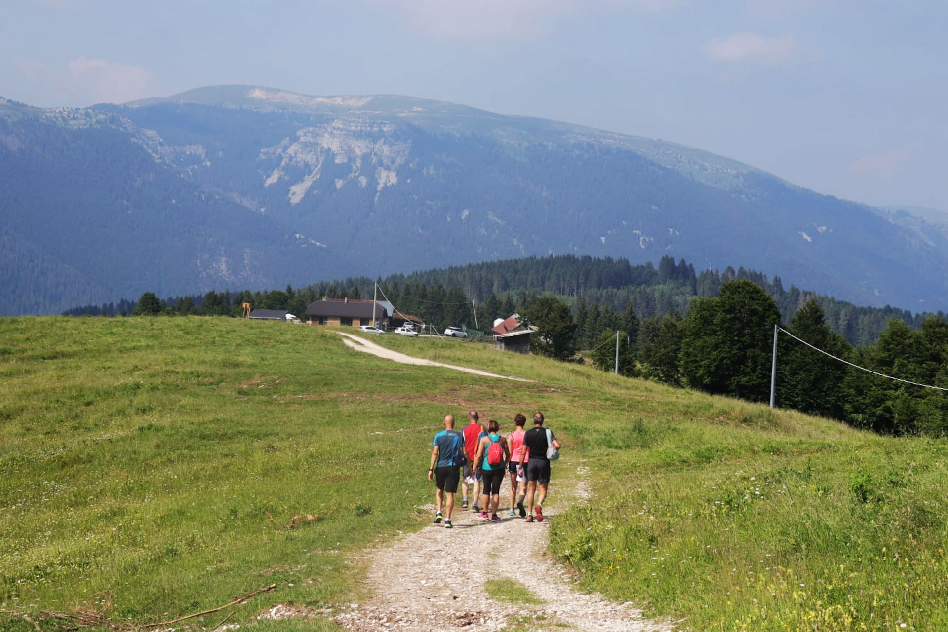
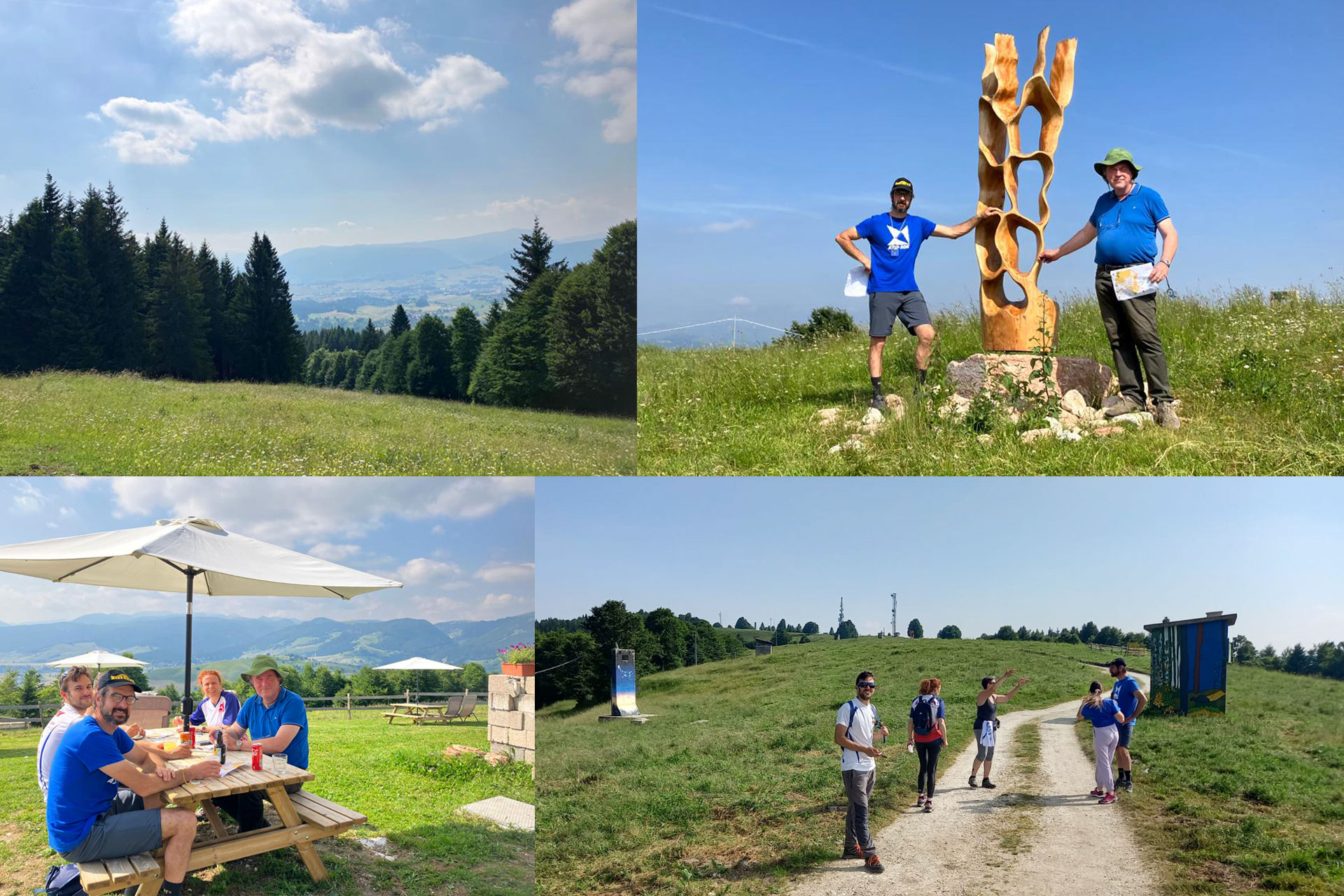
In order to meet the project goals, the format was tested by involving small groups of people of different ages and athletic abilities, and having them go on some simple guided excursions, some walks through pastures and woods to explore the malgas and charming places rich with natural, historical and cultural attractions.

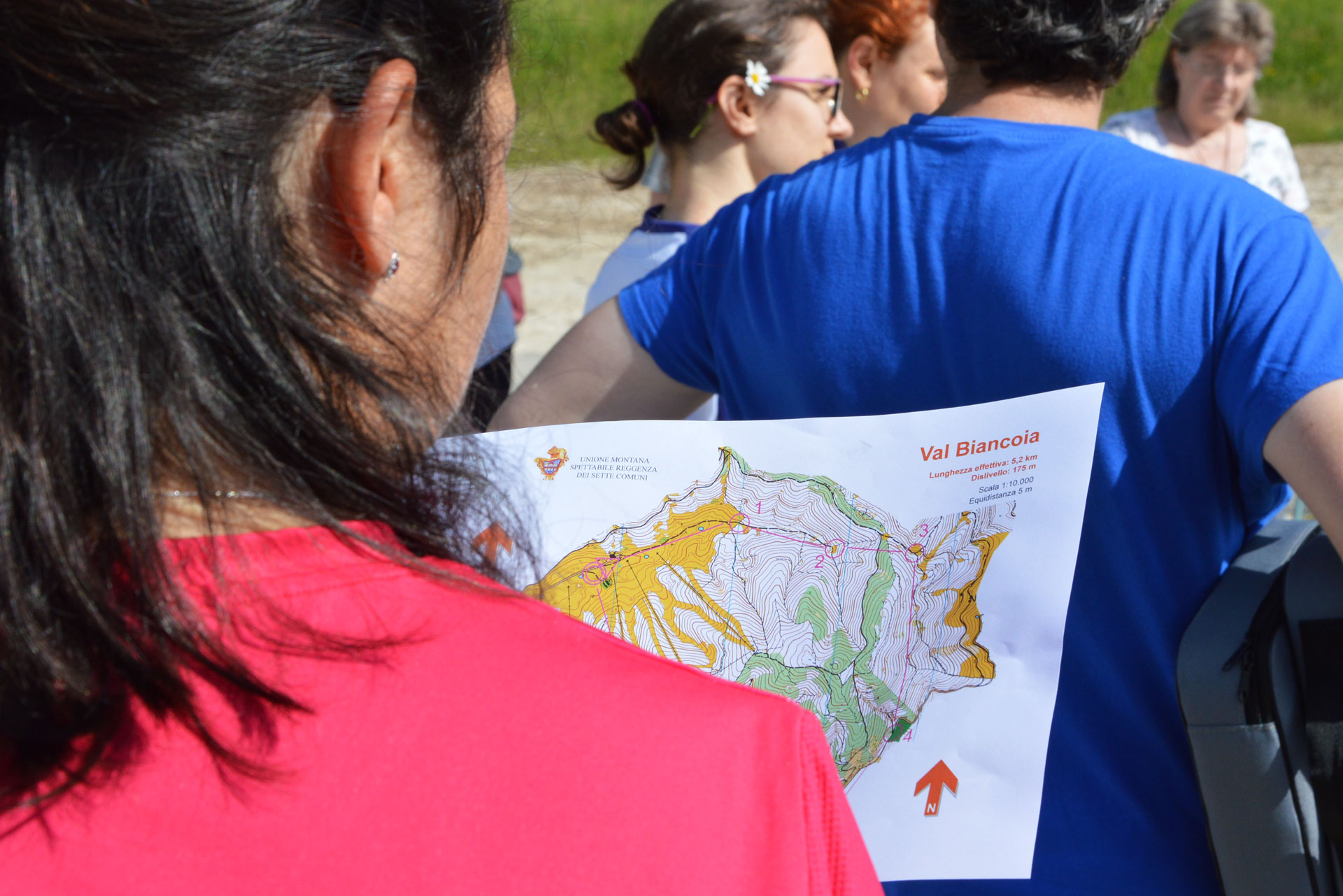
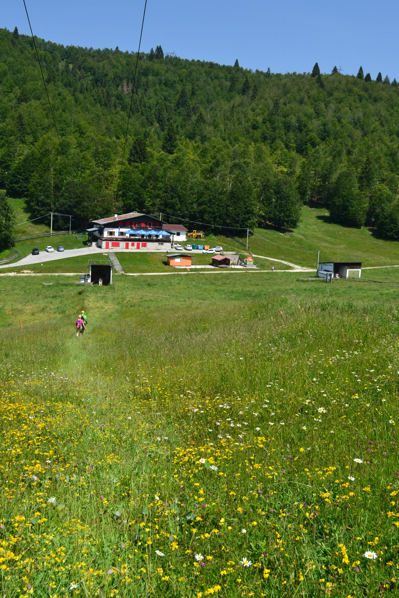
After having studied the already mapped areas for Orienteering in the Plateau of the Seven Municipalities, those most suitable for this first “pilot event” were identified: Val Biancoia and Cima Ekar. Considering the features of the excursions that could be proposed in these areas, this activity in Val Biancoia was organized in the morning (the shortest and more suited trail for families) and the one on Monte Ekar in the afternoon.

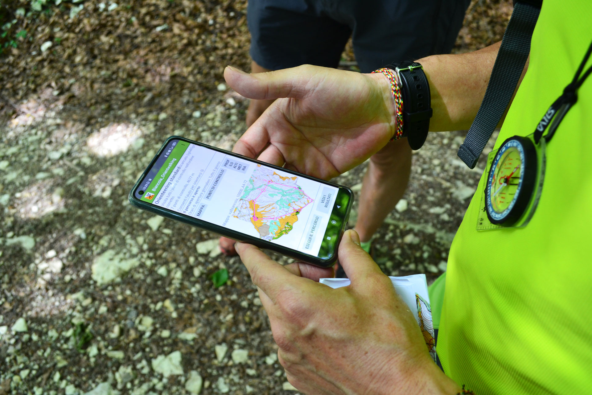
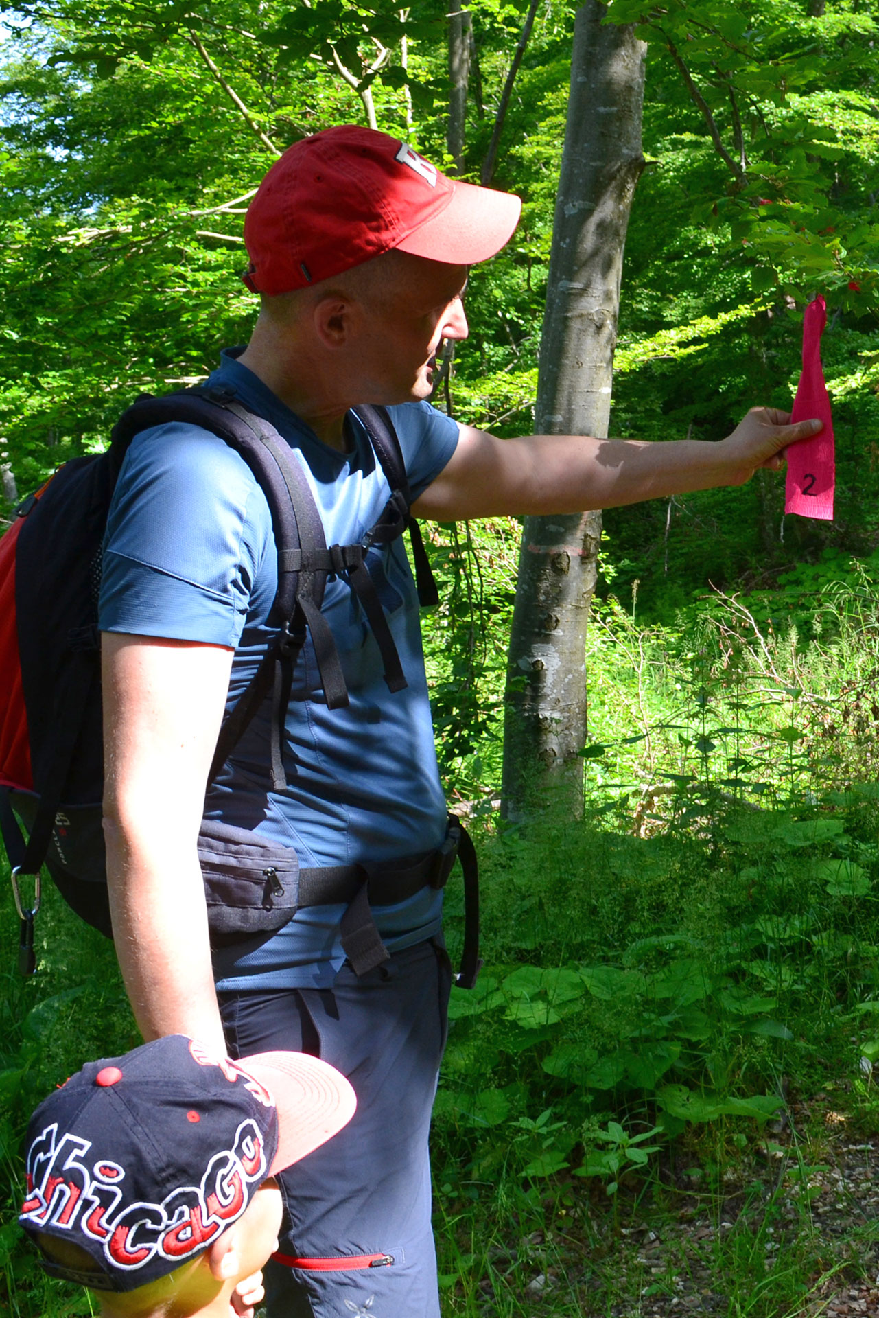
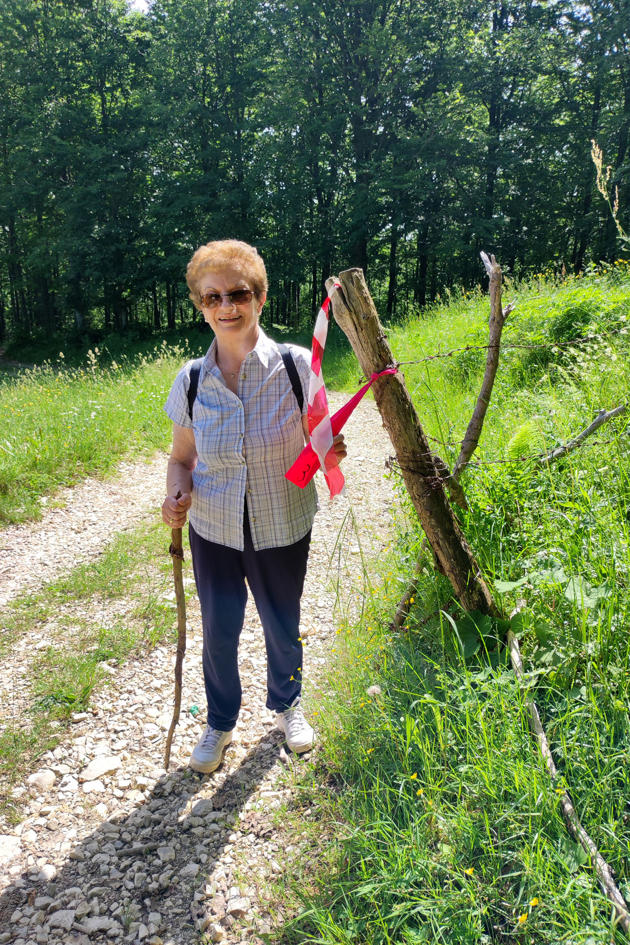
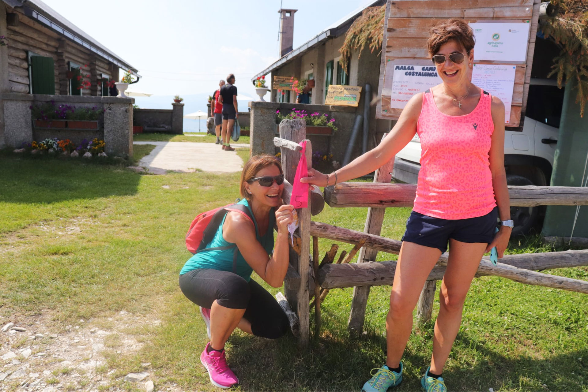
For the occasion, “lanterns” were previously laid to be reached in a predetermined sequence. These were organized physically (with numbered flags) and digitally (via previously customized App). Infact, to the participants, were given the opportunity to use the “GPS Orienteering Run” App and by scanning the QR code they could see on their cell phones the digital map, complete with trail markers.

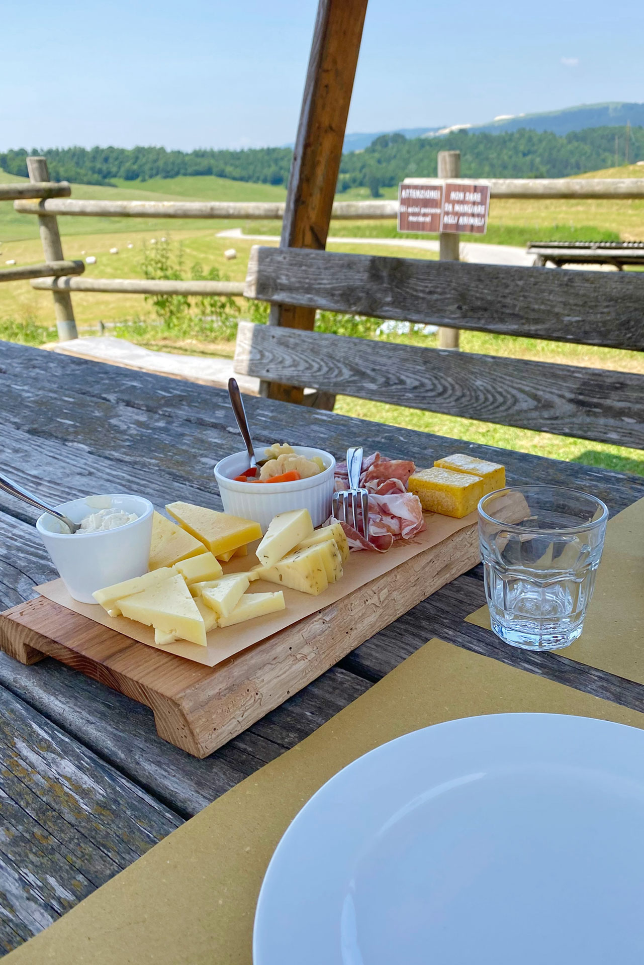
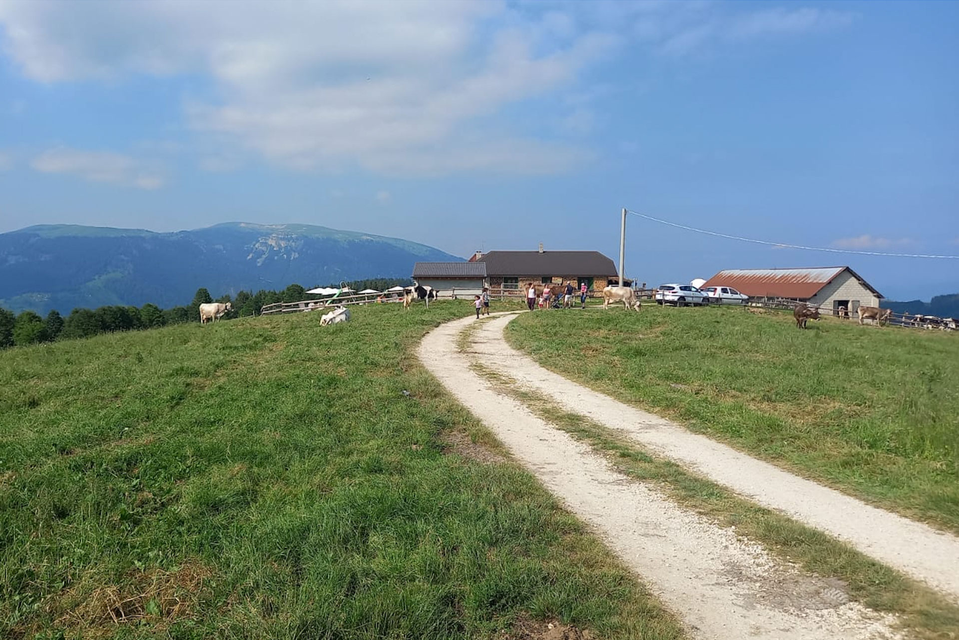
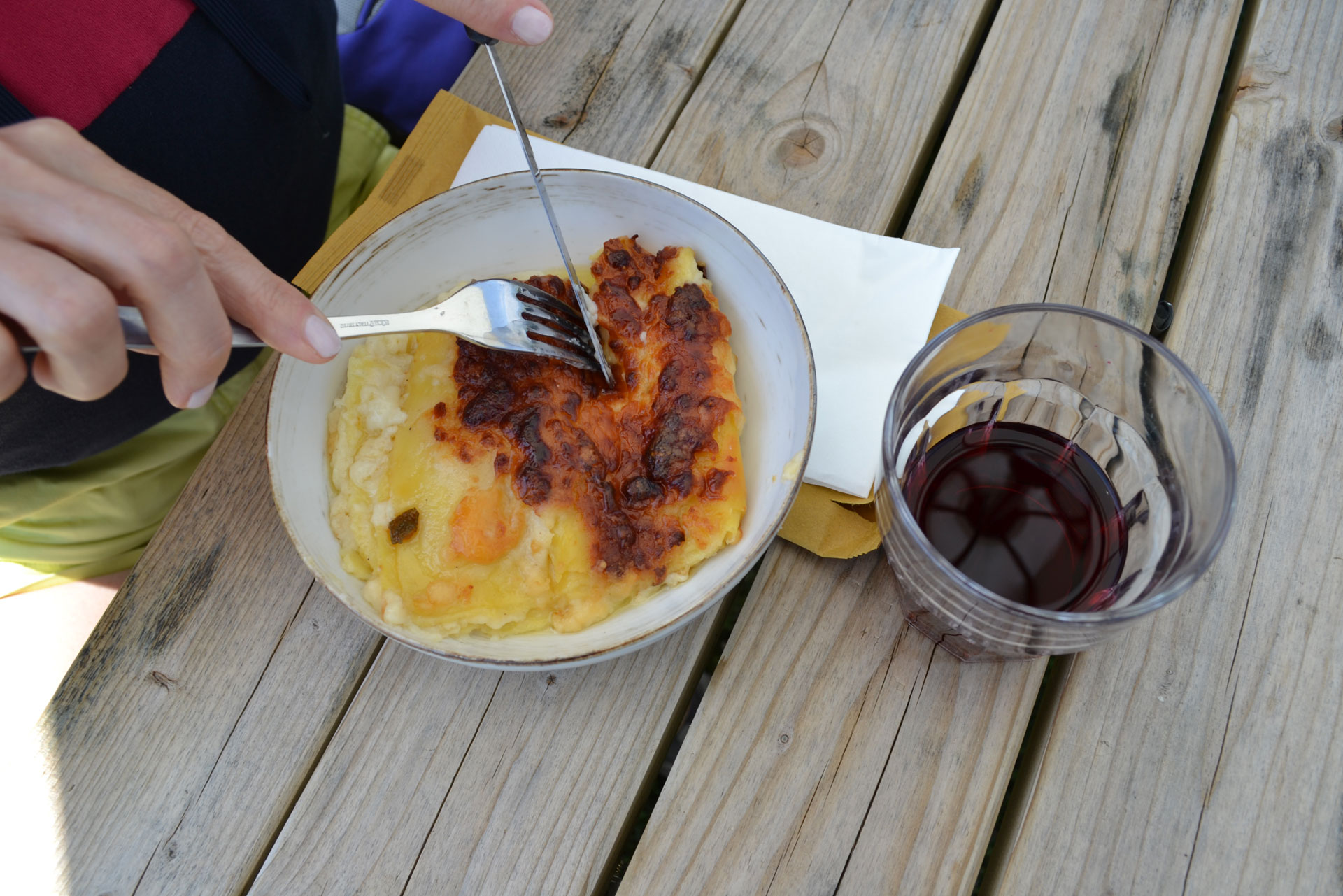
The involvement of the malgas found along the trail and in the surrounding areas where restaurant, production and sales services were active is essential.

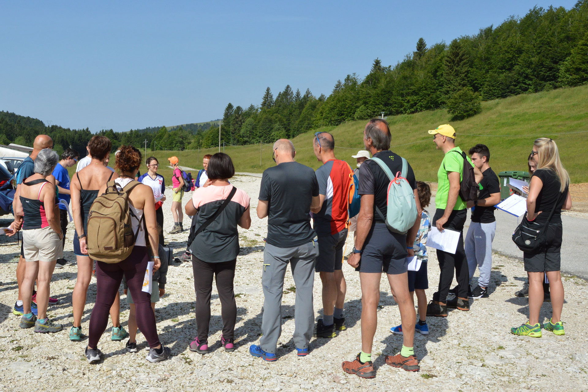
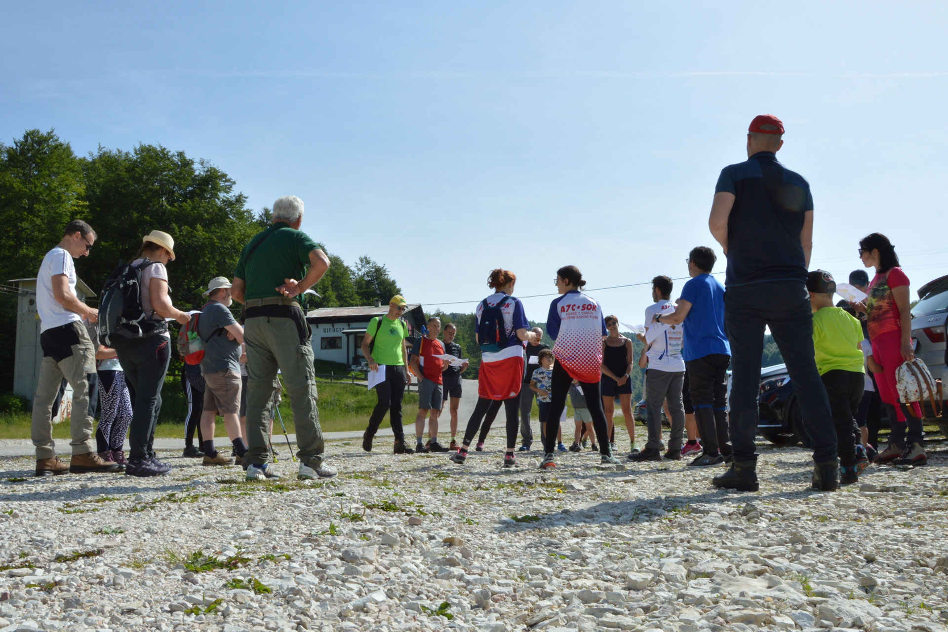
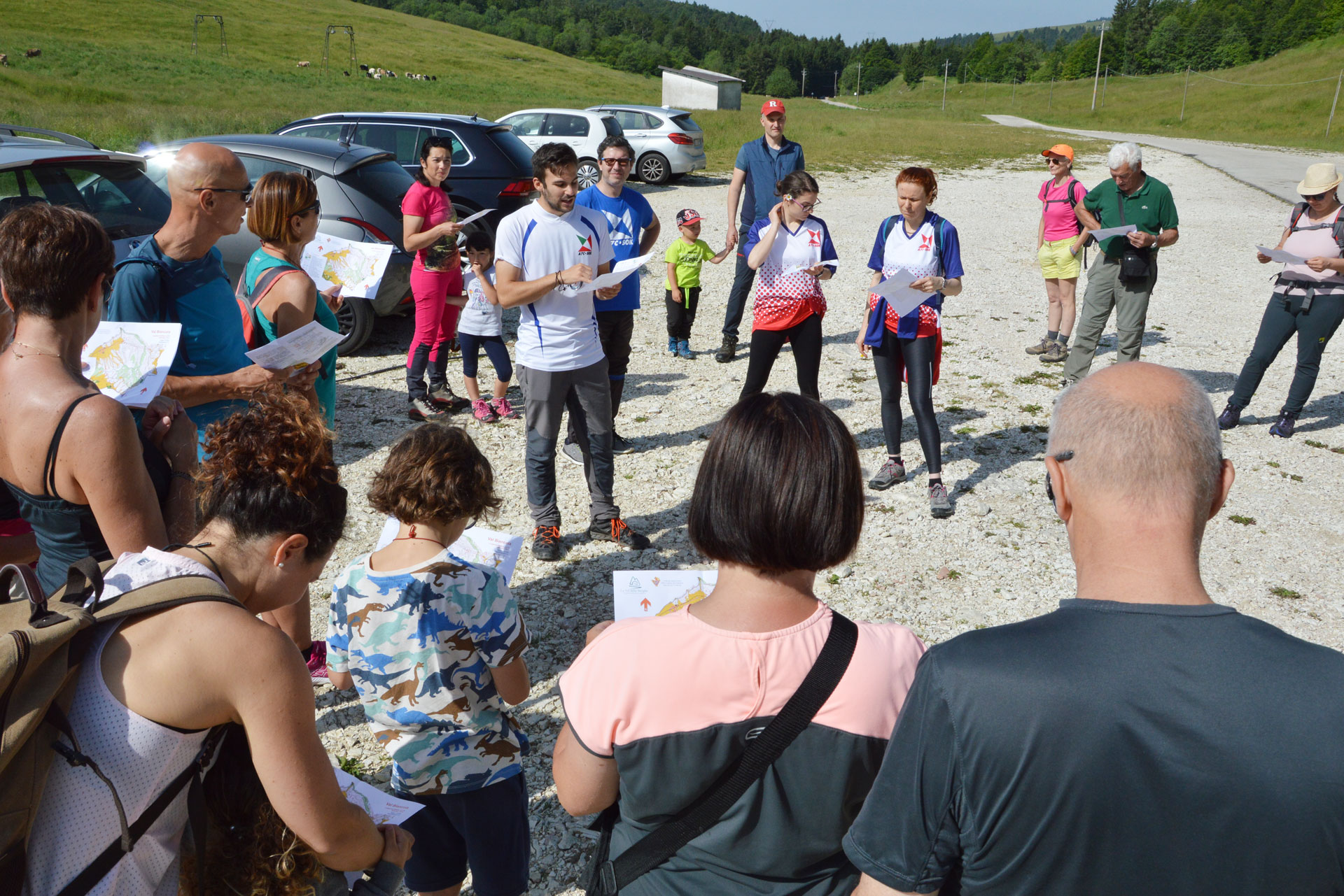
At the starting/finishing points, were arranged:

  • participant registrations, subscriptions by filling out the online form;
  • Handing over of compasses and printed maps;
  • The distribution of the QR code to be used on the trails with a user guide for the “GPS ORIENTEERING RUN” App;
  • explanation of how the activity will be carried out.

This activity’s format whose results are available to the public and area stakeholders, could be very easily reproduced for future events and organized for other situations(particularly for sport associations that can guarantee the necessary technical support). Ideally in collaboration with the municipalities and tourist offices of the Plateau, as well as with the malgas involved in the project.

This activity was organized in cooperation with FISO Technicians (Federazione Italiana Sport Orientamento) of the Associazione Asiago 7 Comuni Ski Orienteering Klub.

Commissioned by the Unione Montana Spettabile Reggenza dei Sette Comuni, this activity was created and organized by:

Officine micrò | Tel. +39 0424 514104 – info@officinemicro.it – www.officinemicro.it
  • Home
  • The project
  • Press conference and Press kit
  • Malgas
  • Itineraries
  • Contacts
  • Home
  • The project
  • Press conference and Press kit
  • Malgas
  • Itineraries
  • Contacts

Initiative financed by the Veneto rural development program 2014-2020
Authority responsible for information: Unione Montana Spettabile Reggenza dei Sette Comuni
Managing authority: Regione del Veneto – Direzione AdG FEASR Bonifica e Irrigazione

logo_reggenza2
regione-veneto
GAL_500
Facebook Instagram Youtube

© Unione Montana Spettabile Reggenza dei Sette Comuni ASIAGO ENEGO FOZA GALLIO LUSIANA CONCO ROANA ROTZO
Piazza Stazione – 36012 Asiago (VI) – All rights reserved – Cookie Policy | Privacy Policy | Website by Veneto Marketing

Go to Top