See itineraries in GOOGLE MAPS
Plateau area: Marcesina – Ortigara
Group of itineraries: D
See itineraries in GOOGLE MAPS
MAPS with all itineraries
ITINERARY D1
Valmaron – Marcesina – Lozze – Fiara
Length: 57,9 km
Difference in elevation: 1.280 m
Difficulty: Difficult
The itinerary runs between Valmaron and Piana di Marcesina, arriving all the way to Piazzale Lozze (privileged point of departure for excursions to Monte Ortigara and other sites of the Ecomuseo della Grande Guerra Prealpi Vicentine) successfully connecting numerous malgas in the area. Many of the roads used along the route date back to the Great War, of which there are countless signs throughout the area…
For information, GPS routes and malgas along the path:
For information, GPS routes and malgas along the path:
ITINERARY D2
Marcesina – Lozze – Fiara
Length: 31,5 km
Difference in elevation: 660 m
Difficulty: Intermediate
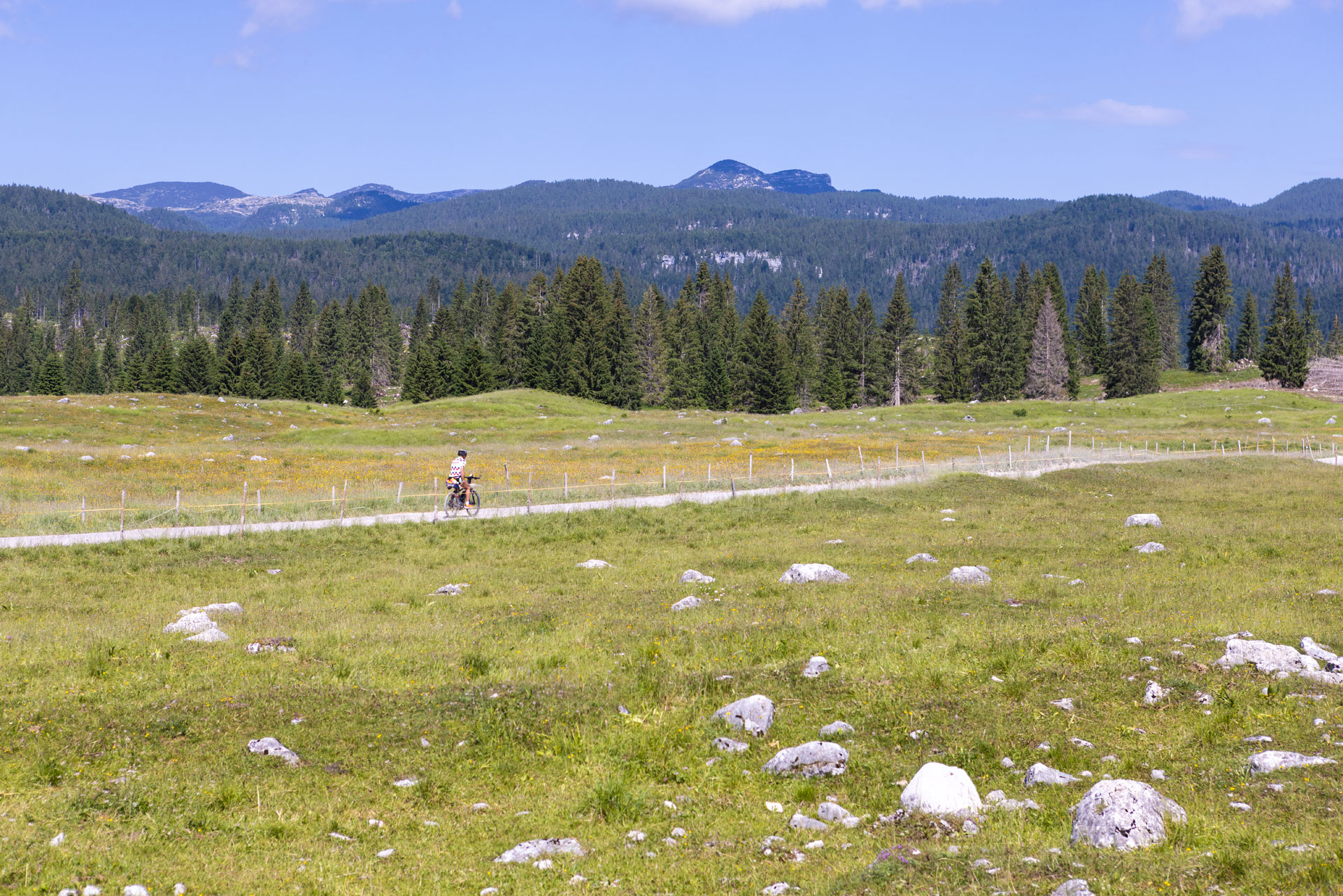
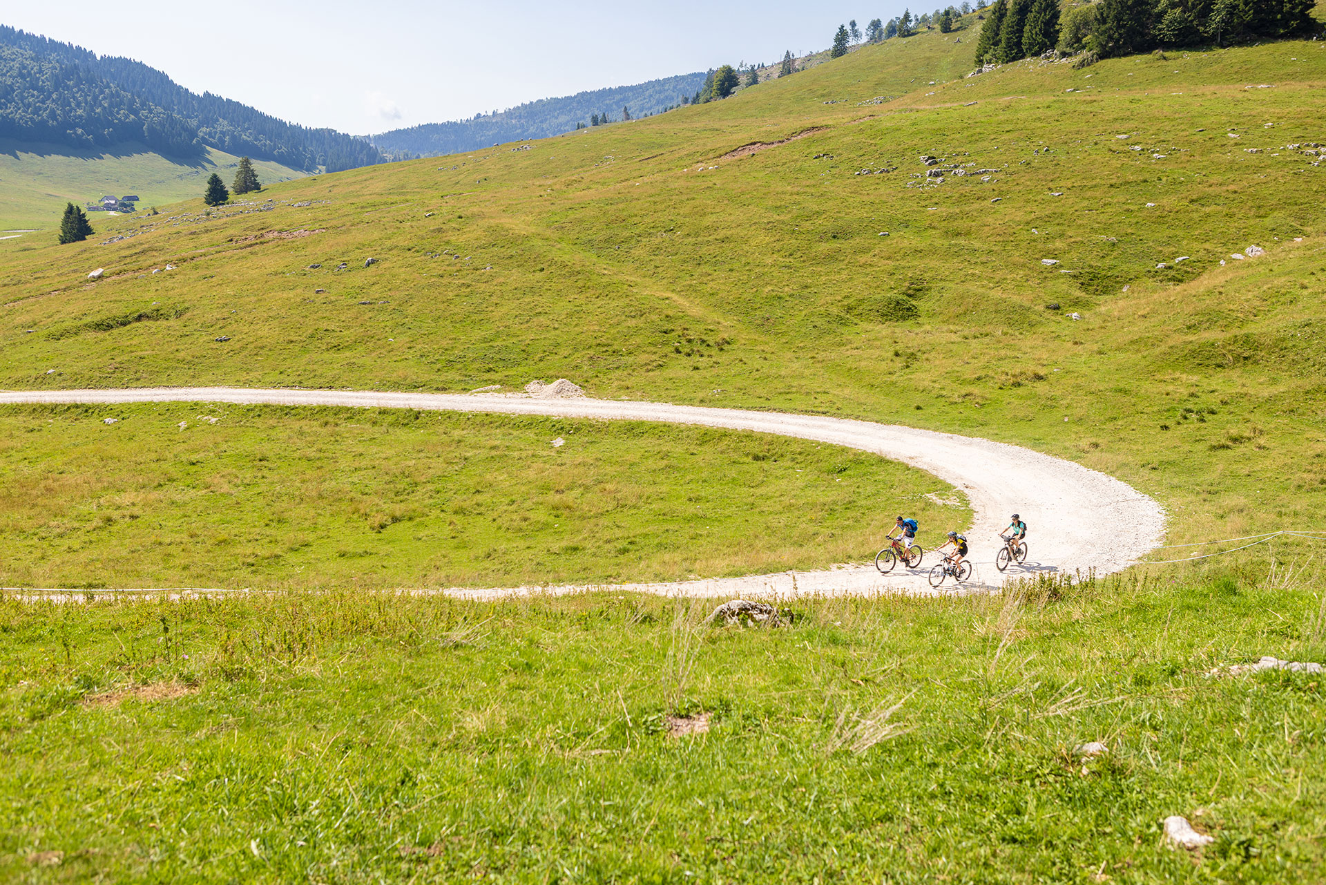
Itinerary primarily on dirt road, which allows you to cross the Piana di Marcesina with its vast pastures and then, enjoying a Nordic landscape characterized by spruce and larch woods, ascend all the way to Piazzale Lozze…
For information, GPS routes and malgas along the path:
For information, GPS routes and malgas along the path:
ITINERARY D3
Valmaron and Marcesina with road bikes
Length: 27 km
Difference in elevation: 630 m
Difficulty: Intermediate
Looping itinerary that allows you to reach the Piana di Marcesina even with a street bicycle, as well as some of the most beautiful high-altitude pastures of the Plateau.
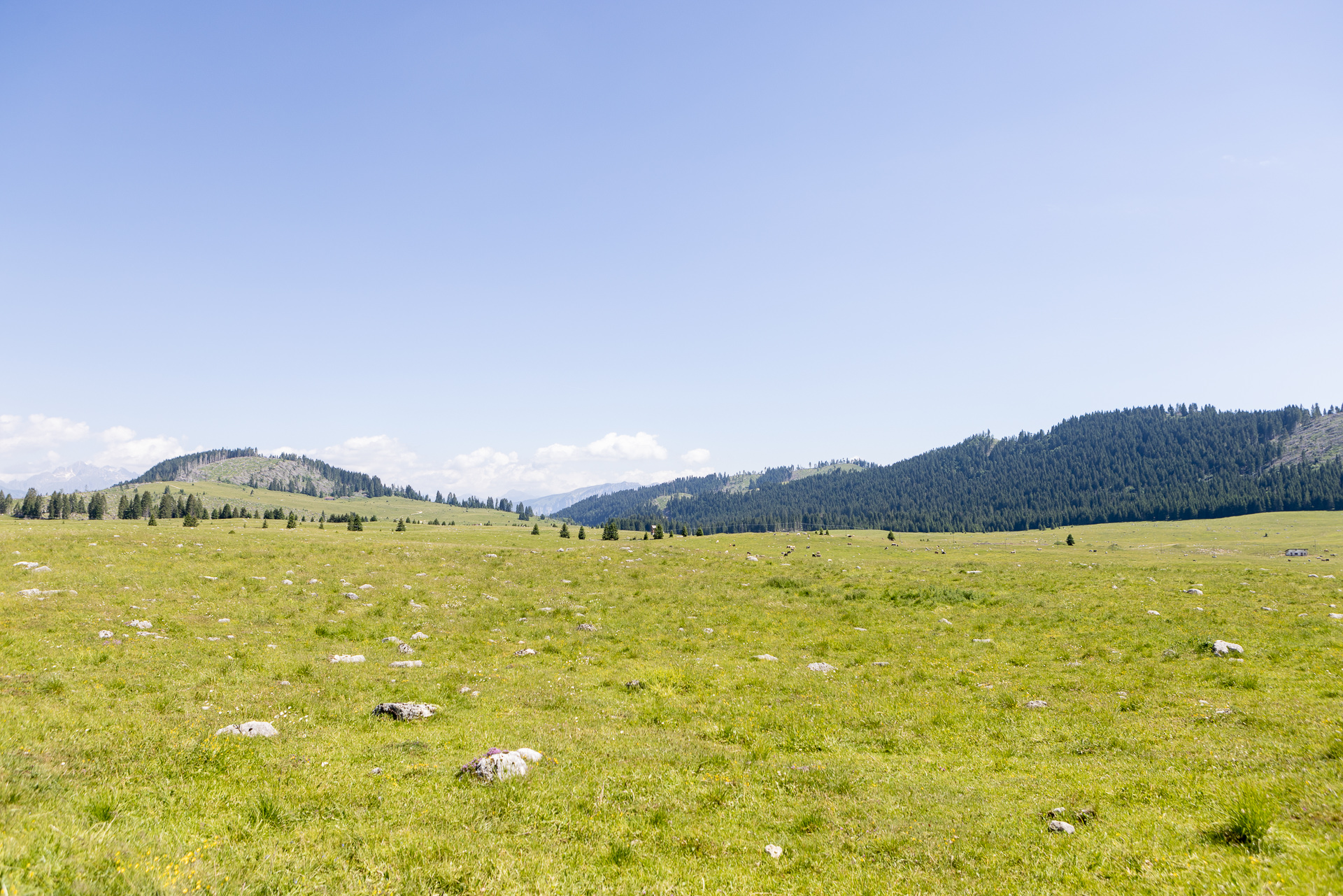
The Piana di Marcesina, renowned for exceptionally cold winter temperatures due to its particular position and morphological conformation, is an extremely interesting area from an environmental, landscape, and historical point of view…
For information, GPS routes and malgas along the path:
For information, GPS routes and malgas along the path:
ITINERARY D4
Valmaron – Forcellona – Marcesina
Length: 10,4 km
Difference in elevation: 180 m
Difficulty: Intermediate
Suitable for beginners/families
Looping itinerary that allows you to approach the Piana di Marcesina and the numerous malgas of the area through a scenic route with particularly interesting views from the Passo della Forcellona. The route, suitable for all, is primarily flat after the brief initial ascent…
For information, GPS routes and malgas along the path:
For information, GPS routes and malgas along the path:
Tourist spots in the surrounding areas
Equipped areas and services
- Loc. Campomuletto
Environmental and landscaping
- Valgadena Bridge – Valgadena Bungee Center
- Piana di Marcesina
- Piazzale Lozze: main point of departure for excursions towards Rifugio Cecchin, the Lozze Church and the trails of the Ecomuseo della Grande Guerra Prealpi Vicentine of the Monte Ortigara area
- Piazza delle Saline: the road starts here for Monte Forno and Monte Chiesa, other important sites of the Ecomuseo della Grande Guerra Prealpi Vicentine
- Torbiera (peat bog) Palù di Sotto and Palù di San Lorenzo: a peculiarity of the Piana di Marcesina, characterized by areas full of waterholes, with the presence of vegetation species and extremely rare bird species.
Buildings, Monuments, and Museums
- Former Forte Lisser
- Sacello di Malga Fossetta, starting point of the CAI 845 Castelloni di San Marco Trail
- San Lorenzo Chapel (Marcesina locality)
- Marcesina Memorial stones, dating back to 1752. These are “stones” marked with an Arabic number, which follow the border between the Most Serene Republic of Venice and the Austro-Hungarian Empire, placed after the 1750 Rovereto peace conference.
- Casonetti: ancient and humble dwellings made of wood with a metal roof which were originally a logistical support for cutting lumber and the upkeep of the pasture.
Other itineraries/sites nearby
- Sentiero del Silenzio (Trail of Silence), Porta della Memoria (Door of Memory) (departure from Campomuletto)
- CAI 869 Memorial stones Trailfrom Enego to Anepoz (cippo No.1)
- CAI 845 Castelloni di San Marco Trail that starts from Malga Fossetta and leads to the labyrinth of the Castelloni di San Marco
- Riparo Dalmeri(prehistoric archaeological site highly relevant to the history of Trentino and Europe, Municipality of Grigno – Trentino)
Winter sports nearby
- Enego Rifugio Valmaron Cross-Country Center
- Valmaron “Enego 2000” Ski area
Other itineraries/sites nearby
- Sentiero del Silenzio (Trail of Silence), Porta della Memoria (Door of Memory) (departure from Campomuletto)
- CAI 869 Memorial stones Trailfrom Enego to Anepoz (cippo No.1)
- CAI 845 Castelloni di San Marco Trail that starts from Malga Fossetta and leads to the labyrinth of the Castelloni di San Marco
- Riparo Dalmeri(prehistoric archaeological site highly relevant to the history of Trentino and Europe, Municipality of Grigno – Trentino)
Winter sports nearby
- Enego Rifugio Valmaron Cross-Country Center
- Valmaron “Enego 2000” Ski area