See itineraries in GOOGLE MAPS
Plateau area: Larici – Manazzo
Group of itineraries: H
See itineraries in GOOGLE MAPS
MAPS with all itineraries
ITINERARY H1
Val Formica, Dosso and Porta Manazzo
Length: 7,44 km
Difference in elevation: 190 m
Difficulty: Intermediate
Suitable for beginners/families
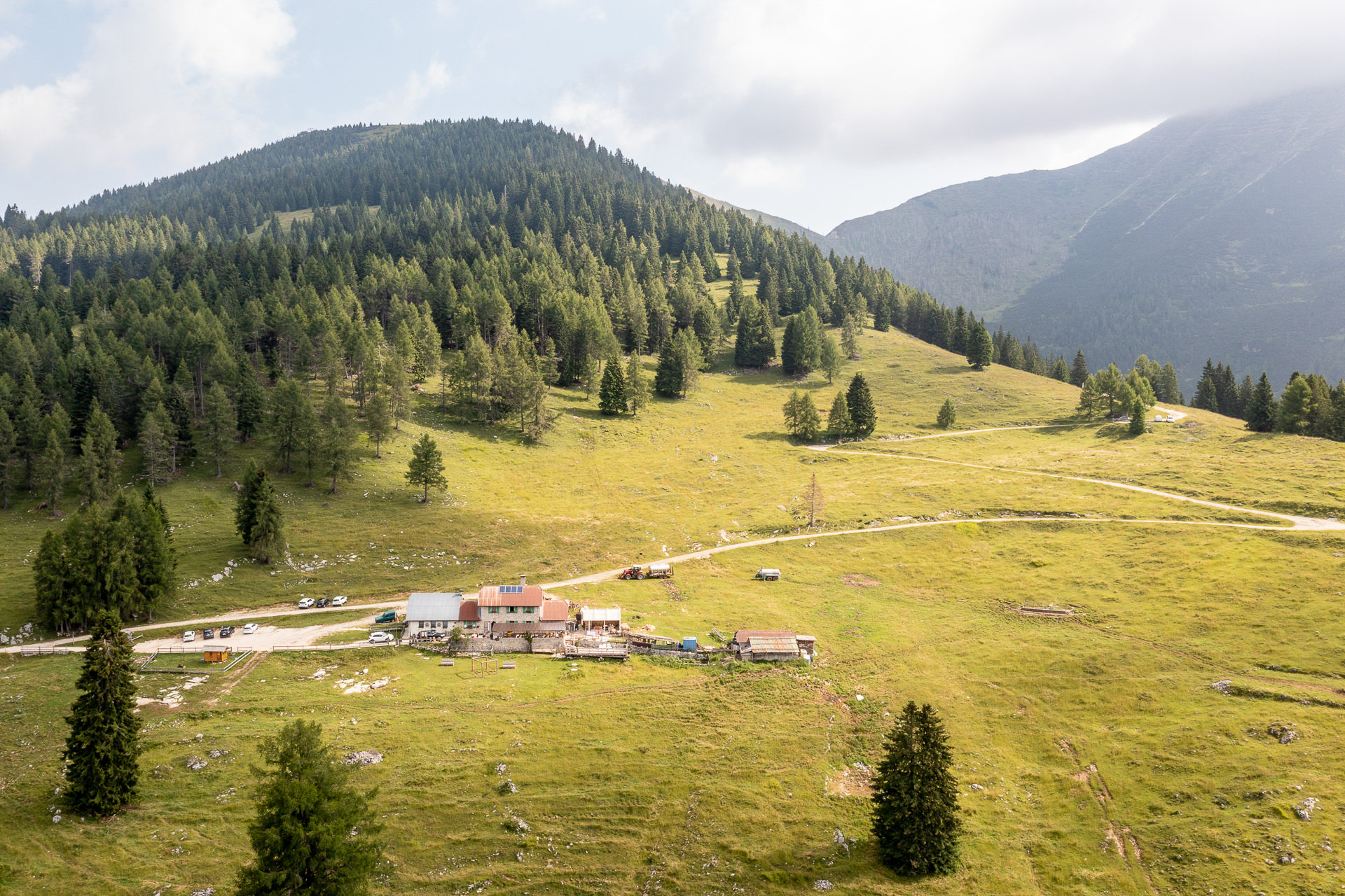
Itinerary that winds through the north west part of the Plateau, near the Trentino border, through extremely scenic forests and pastures. Although it runs at a medium-high altitude, the overall difference in level is contained, so much that it makes this excursion suitable even for the less experienced. Along the entire itinerary, there is a beautiful view of the Cima Portule ridge and from Porta Manazzo, one can see all the way to the Trentino-Alto Adige Alps and the Dolomites…
For information, GPS routes and malgas along the path:
For information, GPS routes and malgas along the path:
Tourist spots in the surrounding areas
Equipped areas and services
- Rifugio Val Formica
- Rifugio Larici
Environmental and landscaping
- Cima Larici
- Porta Manazzo
- Cima Portule
Buildings, Monuments, and Museums
- Remains of tunnels and observation points from the Great War (visible in Porta Manazzo)
Other itineraries/sites nearby
Winter sports nearby
- Val Formica Ski Area
- Ideal area for snowshoe and ski mountaineering excursions
Other itineraries/sites nearby
Winter sports nearby
- Val Formica Ski Area
- Ideal area for snowshoe and ski mountaineering excursions