See itineraries in GOOGLE MAPS
Plateau area: Biancoia – Monte Corno
Group of itineraries: A
See itineraries in GOOGLE MAPS
MAPS with all itineraries
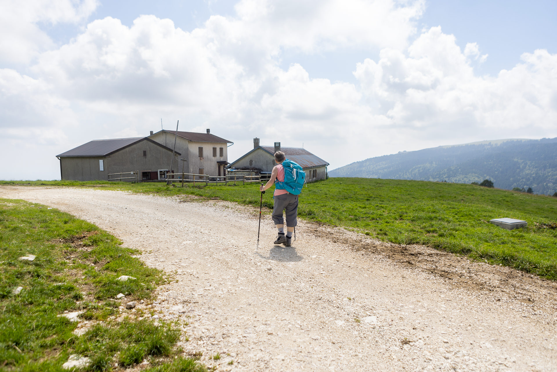
ITINERARY A1
Val Biancoia and surrounding areas
Length: 13,8 km
Difference in elevation: 360 m
Difficulty: Intermediate
The itinerary winds its way through an area that can be easily reached from the plain with interesting scenic views over the plain itself and, to the east, over Monte Grappa, the Pale di San Martino and the Feltre and Belluno reliefs. The landscape is characterized by vast beech forests which, toward the end of the summer season, provide spectacular autumn scenery…
For information, GPS routes and malgas along the path:
ITINERARY A2
Bertiaga – Valle Camporossignolo – Valle Granezza di Gallio – Monte Corno
Length: 31 km
Difference in elevation: 900 m
Difficulty: Difficult
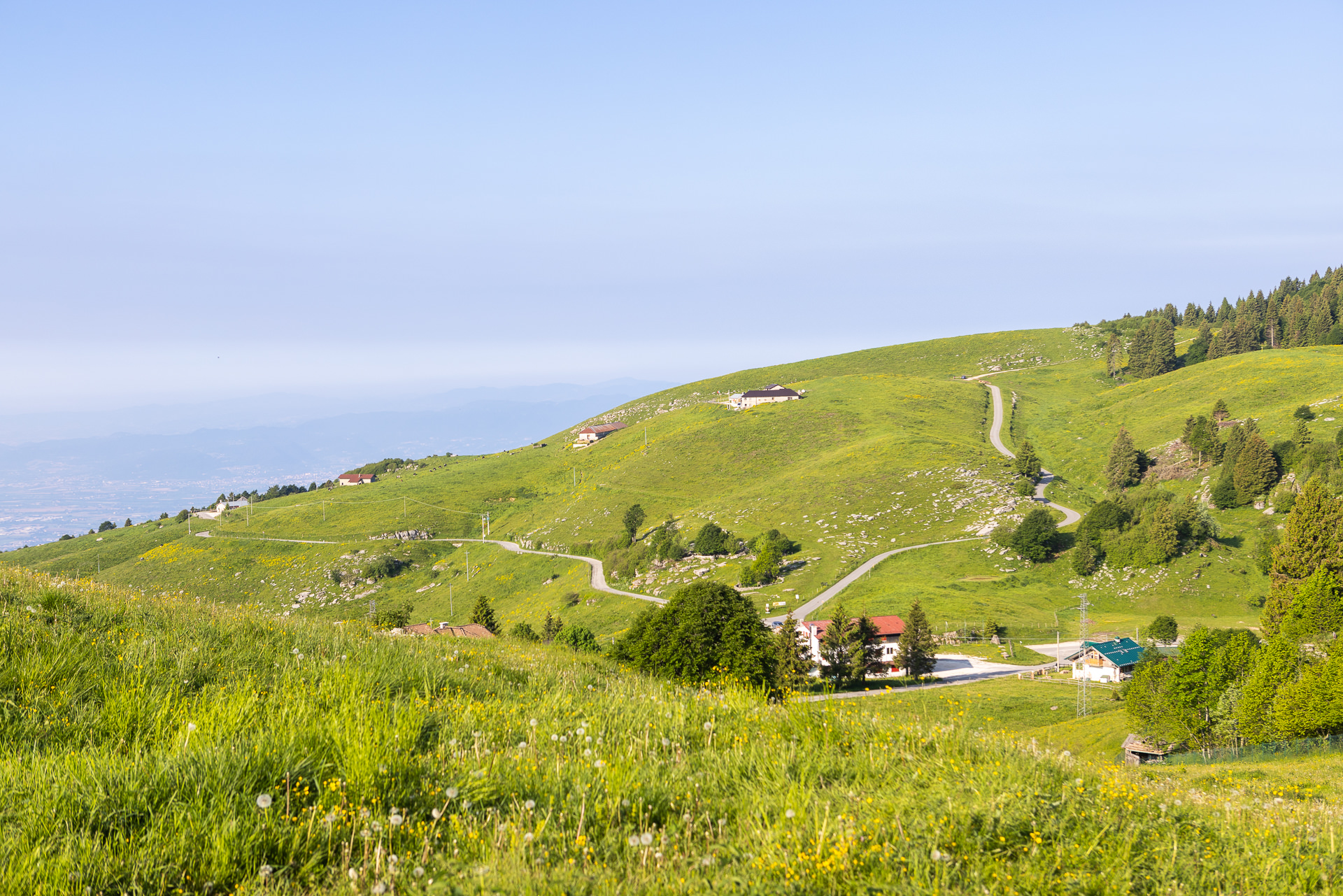
The itinerary begins from the center of Lusiana and goes up over secondary roads to Monte Bertiaga, where visitors can enjoy an extremely extended view of the Veneto plain. The route then descends along Valle Camporossignolo and, after reaching Fontanella locality, goes back up along Valle Granezza di Gallio until arriving at Monte Corno. The final part of the itinerary descends along a scenic ridge to Piazza Campana…
For information, GPS routes and malgas along the path:
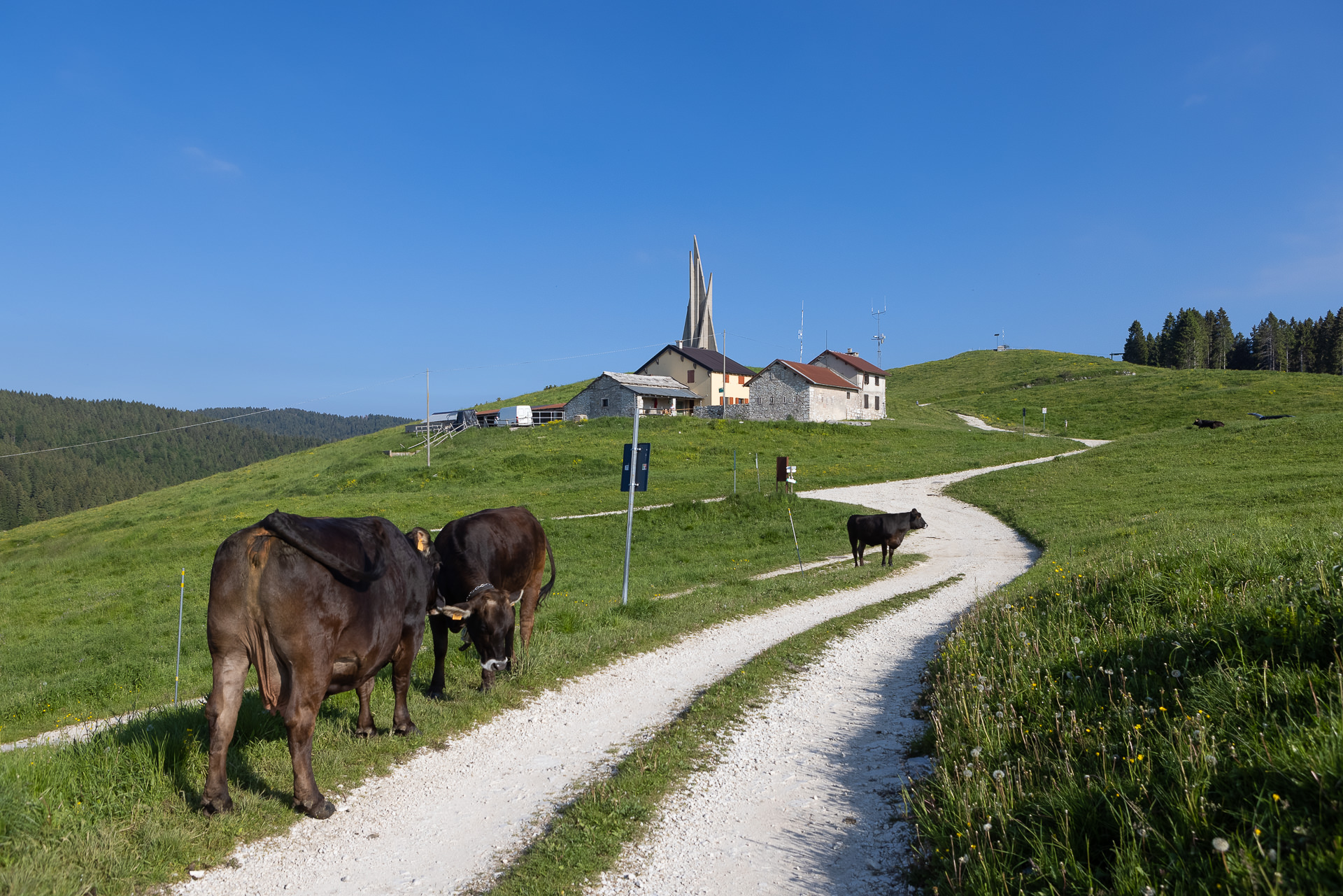
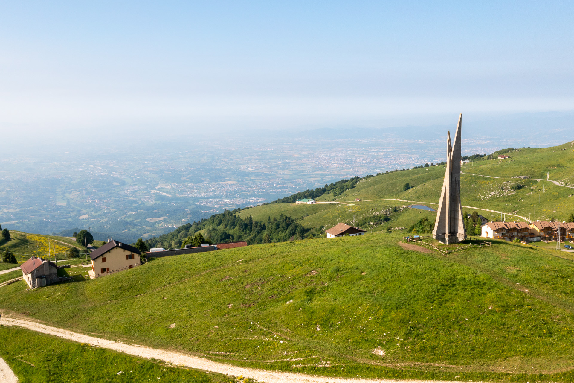
ITINERARY A3
Monte Corno – Campo Rossignolo
Length: 10,4 km
Difference in elevation: 320 m
Difficulty: Intermediate
Suitable for beginners/families (first part of the trail)
The route, which also extends along the rocky labyrinth of Monte Corno, is marked on the first part by the symbol of the ammonite drawn in red on rocks and trees. In this area, characterized by signs of the presence of French and British divisions during the First World War, there are numerous sites and routes, which are highly interesting from a historical and naturalistic point of view…
For information, GPS routes and malgas along the path:
Tourist spots in the surrounding areas
Equipped areas and services
- Picnic area (Conco)
- Rest areas near some malgas
Environmental and landscaping
- Val Biancoia
- Colle dei tre confini (beautiful scenery, like on all of that ridge)
- Cima Campaniletto (beautiful scenery, like on all of that ridge)
- Alpine Botanical Garden “Dario Broglio” (Monte Corno)
Other itineraries/sites nearby
- Anello dei Tre Confini (Lusiana Conco)
- Trail of love and surrounding area (Lusiana Conco)
- CAI 872 Ciscati/Biancoia Trail
- Painted quarries (Rubbio)
- Red Ammonite Trail (Labyrinth of Monte Corno)
- CAI 888 Sentiero dei Partigiani Trail
- Partigiano Trail (departure and arrival at the Granezza Monument to the Fallen)
- Tabulated paths of the Forgotten garden (departure and arrival at Bocchetta Granezza)
Winter sports nearby
- Biancoia Ski Area
- Monte Corno Cross-Country Center
Buildings, Monuments, and Museums
- Water cistern at the crossroads after Col Termine Rotto
- Towards the north-east, the Col d’Astiago water reservoirs (primary supply source of the Plateau’s potable water, coming from the Oliero spring)
- Archaeological site of Val Lastaro
- Museo Diffuso di Lusiana (Diffused museum), including:
– Monte Corgnon prehistoric village
– Palazzon Ethnographic Museum
– Valle dei Mulini - San Leopoldo Hermitage
- Monument to the unknown fallen soldier for freedom of Monte Corno (Malga Corno)
- British military cemetery “Granezza”
- Monument to the Fallen of the Second World War 1943/45 (near Rifugio Granezza)
- Poilus Hiking Rings (French soldiers from the First World War)
- One of the oldest bells of Veneto (Piazza Campana)
- Lazzaretto Sanctuary (Campana locality)