Skip to content
La Via delle Malghe | Altopiano dei Sette Comuni
#sweethomealtopiano
La Via delle Malghe | Altopiano dei Sette ComuniLa Via delle Malghe | Altopiano dei Sette Comuni
  • Home
  • Project
    • The project “The Malga Trail”
    • Press conference and Press kit
    • The Malga: history, environment, territory, management
    • Tourist accomodations in the Malga: good practices
    • Orientwalking among the malgas
    • Interview with Gianbattista Rigoni Stern
  • Malgas
  • Itineraries
    • All itineraries
    • A | Between Biancoia and Monte Corno
      • A1 | Val Biancoia and surrounding areas
      • A2 | Bertiaga – Valle Camporossignolo – Valle Granezza di Gallio – Monte Corno
      • A3 | Monte Corno – Campo Rossignolo
    • B | The Three Mountains
      • B1 | Cima Ekar – Monte Valbella – Bertigo – Turcio
      • B2 | Valbella – Cima Ekar
    • C | Melette of Foza and Gallio
      • C1 | Trail around Melette of Foza and Gallio by bike
      • C2 | Melette of Foza walking trail
    • D | Piana di Marcesina, Valmaron and Ortigara
      • D1 | Valmaron – Marcesina – Lozze – Fiara
      • D2 | Marcesina – Lozze – Fiara
      • D3 | Valmaron and Marcesina with road bikes
      • D4 | Valmaron – Forcellona – Marcesina
    • E | Along the ridge of Longara
      • E1 | Longara and Campomulo
    • F | Monte Zebio, in the heart of the Plateau
      • F1 | Forte Interrotto – Val Galmarara – Zingarella – Zebio – Val di Nos
      • F2 | Zebio and Zingarella
    • G | Facing Cima Portule
      • G1 | Larici – Portule – Galmarara
    • H | The high pastures of Larici
      • H1 | Val Formica, Dosso and Porta Manazzo
    • I | On the slopes of Monte Verena
      • I1 | Roana Lake – Verena – Campolongo
      • I2 | Monte Verena trail
      • I3 | Ghertele Ecological Museum
      • I4 | Rotzo Malgas trail
    • L | A window onto the plain
      • L1 | Asiago – Val Magnaboschi – Monte Paù – Monte Corno
      • L2 | Buse di Carriola – Bocchetta Paù – Foraoro
    • Other itineraries on the Plateau: the “Alta Via della Grande Guerra”
  • Services
    • Tourist information
    • E-bike recharge – Rental and purchase spots
    • Winter sports
    • GPS route
    • Webcam
  • Contacts
  • Italian
  • German
  • Home
  • Project
    • The project “The Malga Trail”
    • Press conference and Press kit
    • The Malga: history, environment, territory, management
    • Tourist accomodations in the Malga: good practices
    • Orientwalking among the malgas
    • Interview with Gianbattista Rigoni Stern
  • Malgas
  • Itineraries
    • All itineraries
    • A | Between Biancoia and Monte Corno
      • A1 | Val Biancoia and surrounding areas
      • A2 | Bertiaga – Valle Camporossignolo – Valle Granezza di Gallio – Monte Corno
      • A3 | Monte Corno – Campo Rossignolo
    • B | The Three Mountains
      • B1 | Cima Ekar – Monte Valbella – Bertigo – Turcio
      • B2 | Valbella – Cima Ekar
    • C | Melette of Foza and Gallio
      • C1 | Trail around Melette of Foza and Gallio by bike
      • C2 | Melette of Foza walking trail
    • D | Piana di Marcesina, Valmaron and Ortigara
      • D1 | Valmaron – Marcesina – Lozze – Fiara
      • D2 | Marcesina – Lozze – Fiara
      • D3 | Valmaron and Marcesina with road bikes
      • D4 | Valmaron – Forcellona – Marcesina
    • E | Along the ridge of Longara
      • E1 | Longara and Campomulo
    • F | Monte Zebio, in the heart of the Plateau
      • F1 | Forte Interrotto – Val Galmarara – Zingarella – Zebio – Val di Nos
      • F2 | Zebio and Zingarella
    • G | Facing Cima Portule
      • G1 | Larici – Portule – Galmarara
    • H | The high pastures of Larici
      • H1 | Val Formica, Dosso and Porta Manazzo
    • I | On the slopes of Monte Verena
      • I1 | Roana Lake – Verena – Campolongo
      • I2 | Monte Verena trail
      • I3 | Ghertele Ecological Museum
      • I4 | Rotzo Malgas trail
    • L | A window onto the plain
      • L1 | Asiago – Val Magnaboschi – Monte Paù – Monte Corno
      • L2 | Buse di Carriola – Bocchetta Paù – Foraoro
    • Other itineraries on the Plateau: the “Alta Via della Grande Guerra”
  • Services
    • Tourist information
    • E-bike recharge – Rental and purchase spots
    • Winter sports
    • GPS route
    • Webcam
  • Contacts
  • Italian
  • German

Along the ridge of Longara

You are here:
  1. Home
  2. Along the ridge of Longara

Plateau area: Longara – Campomulo

Group of itineraries: E

See itineraries in GOOGLE MAPS
Google Maps
MAPS with all itineraries
Download

Plateau area: Longara – Campomulo

Group of itineraries: E

See itineraries in GOOGLE MAPS
Google Maps
MAPS with all itineraries
Download

ITINERARY E1
Longara and Campomulo


Length: 9,56 km
Difference in elevation: 250 m
Difficulty: Intermediate

Suitable for beginners/families
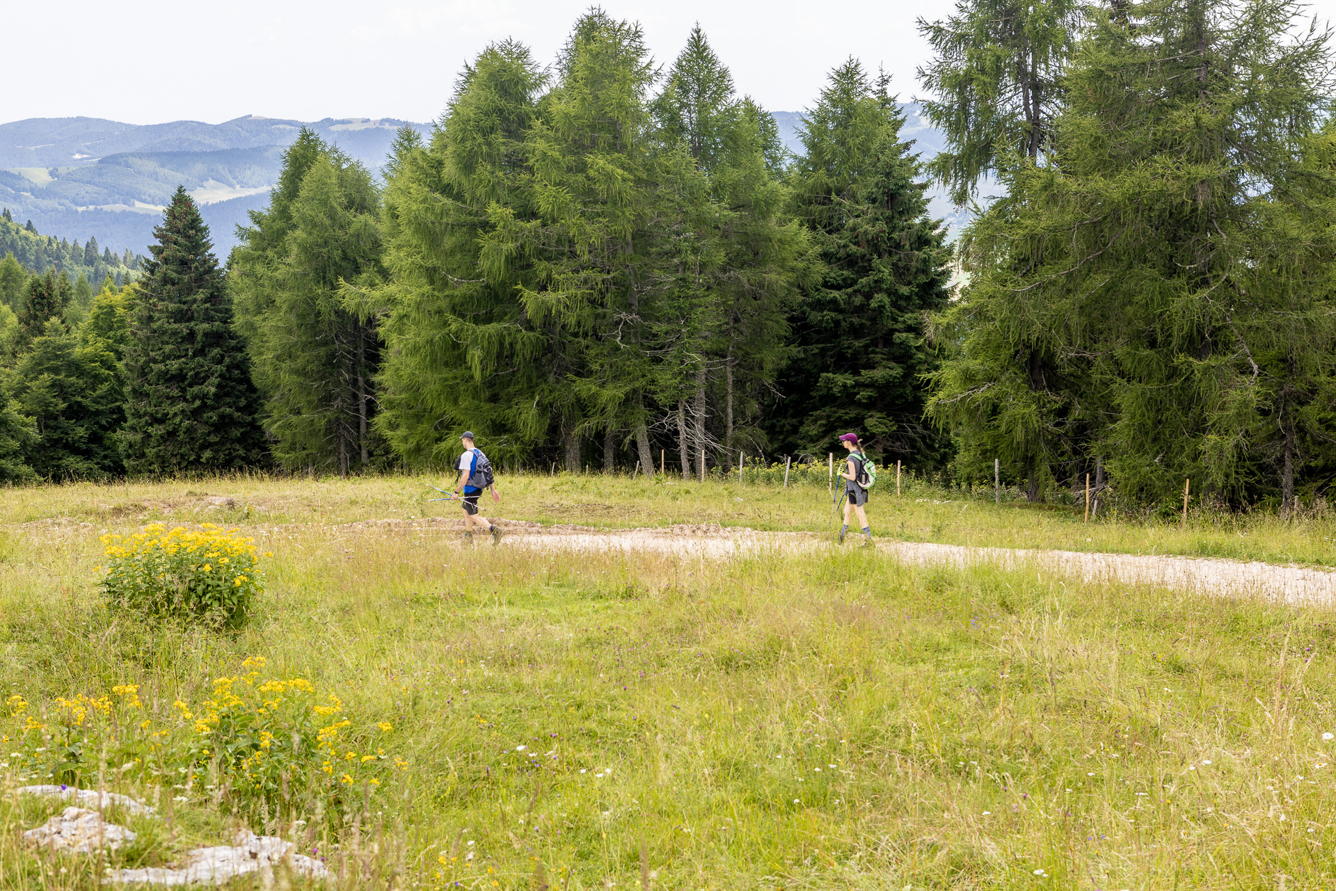
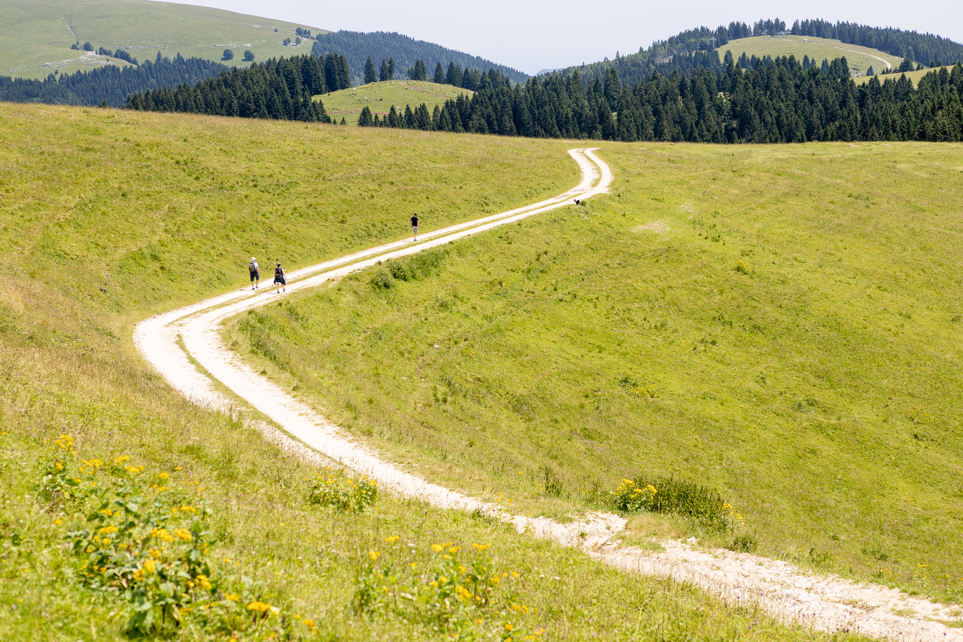
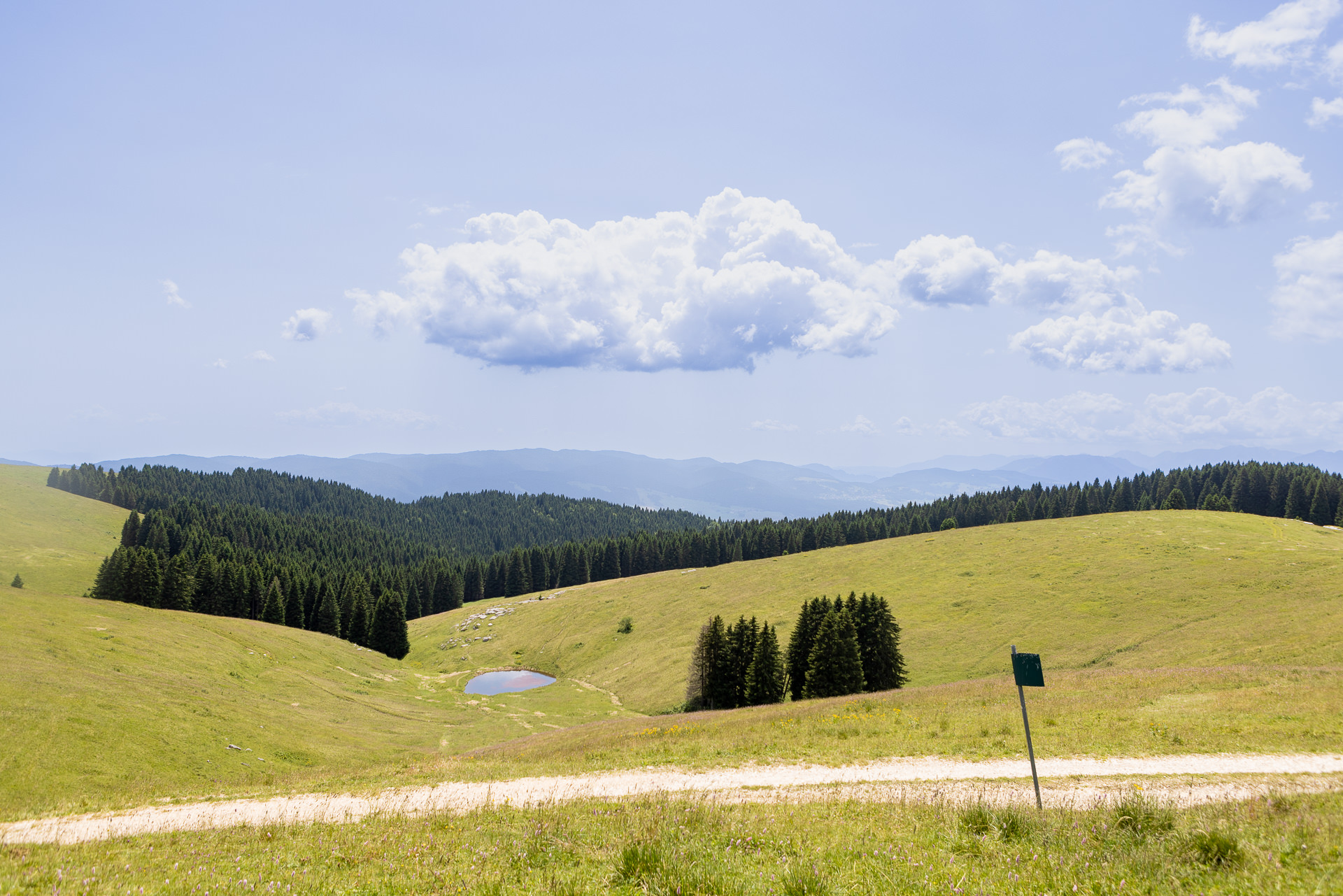
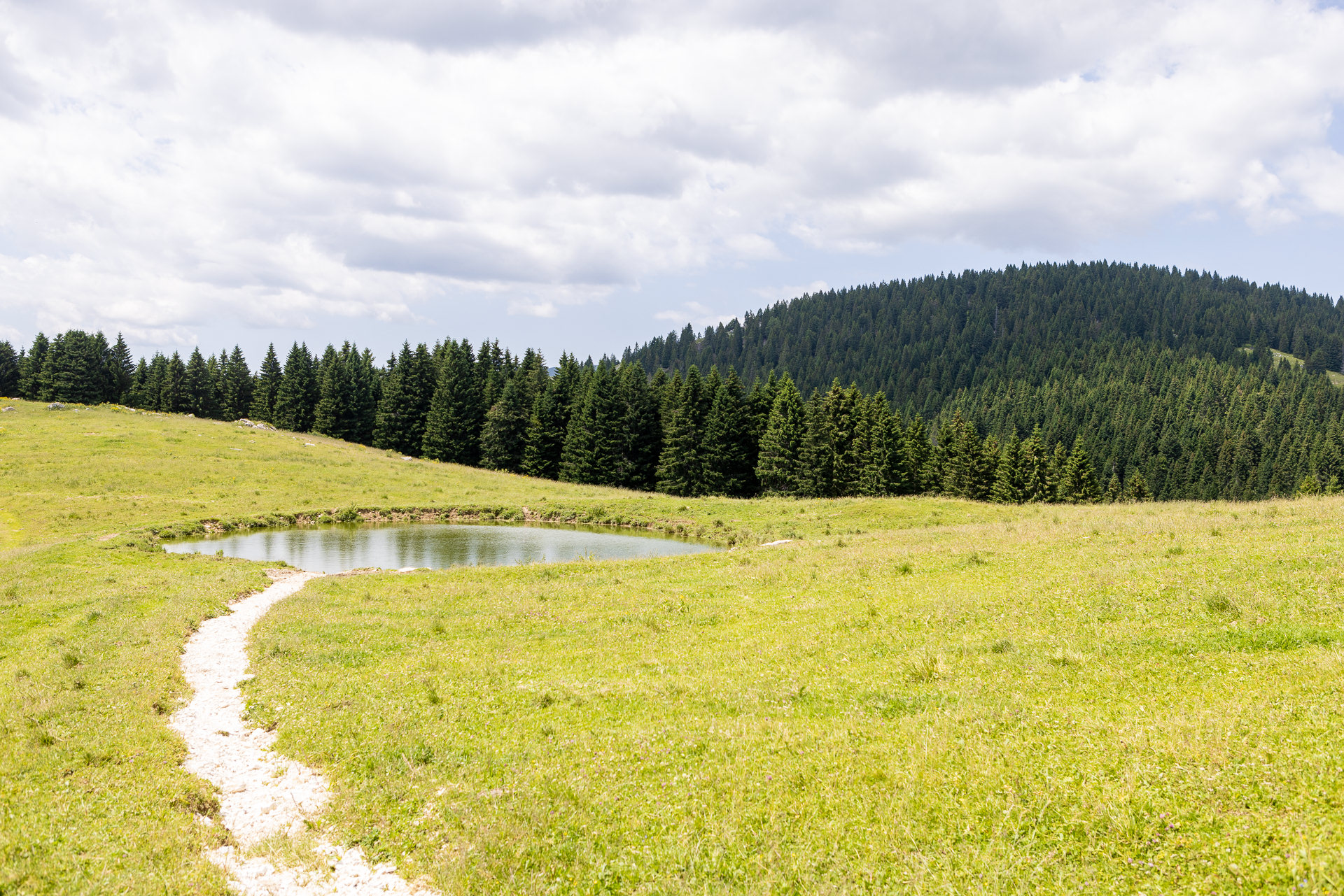
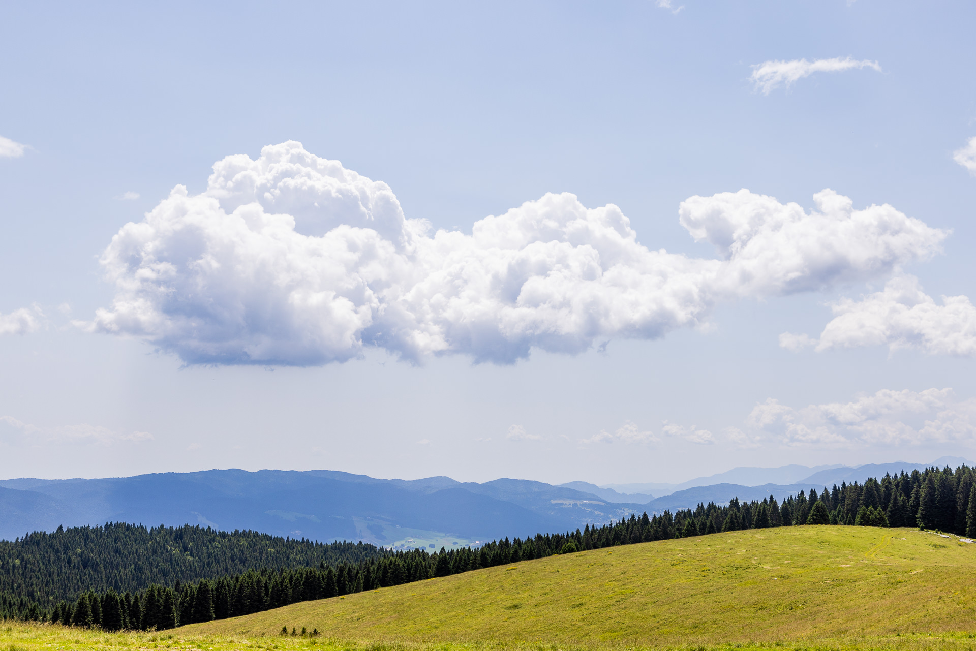
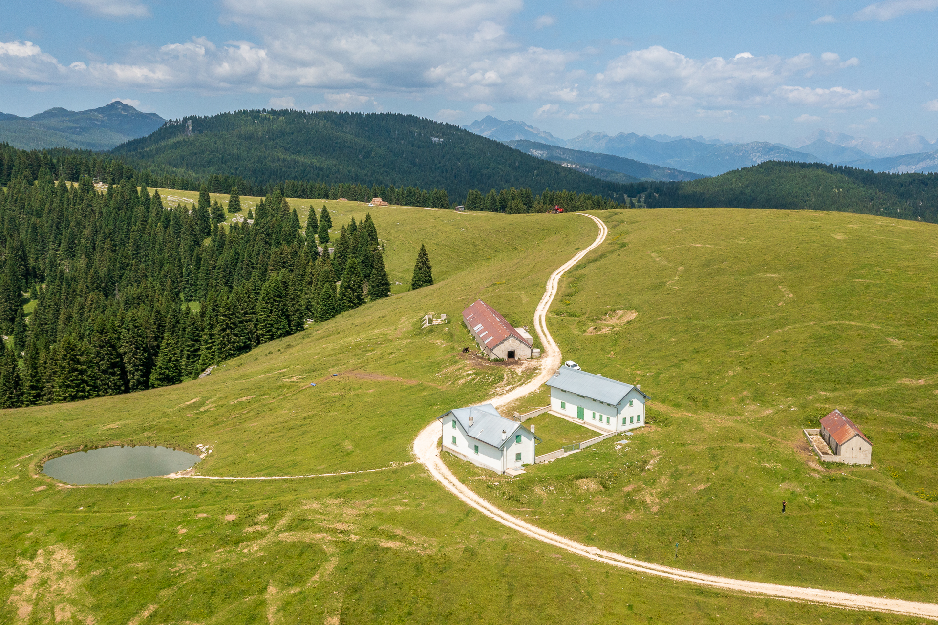
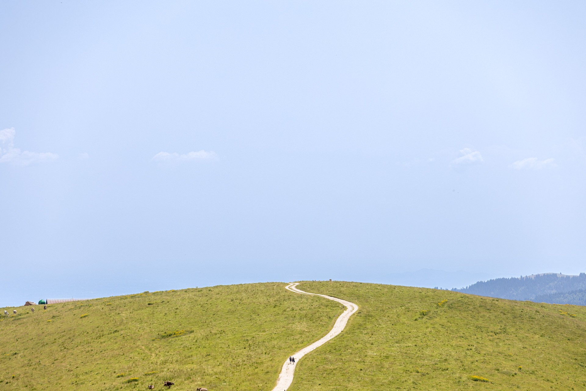
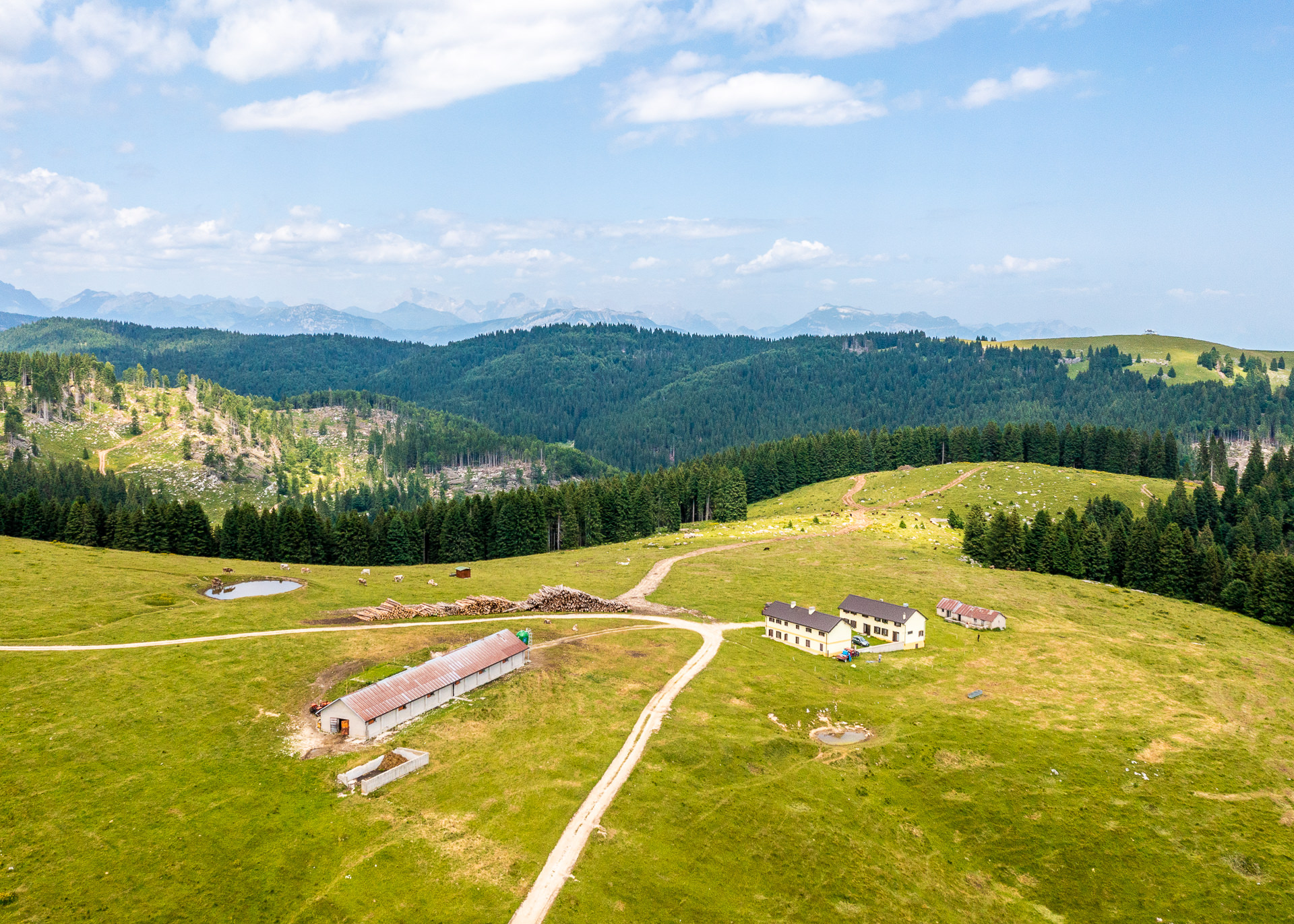
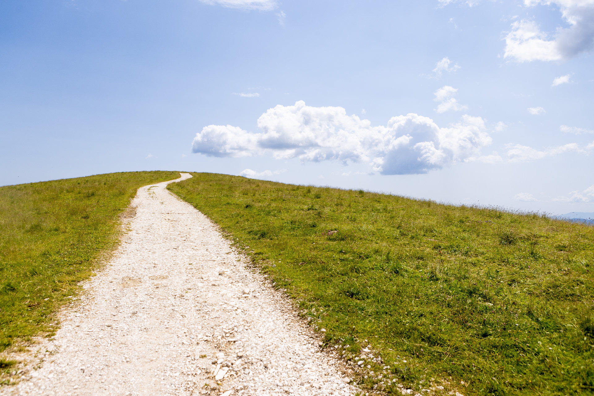
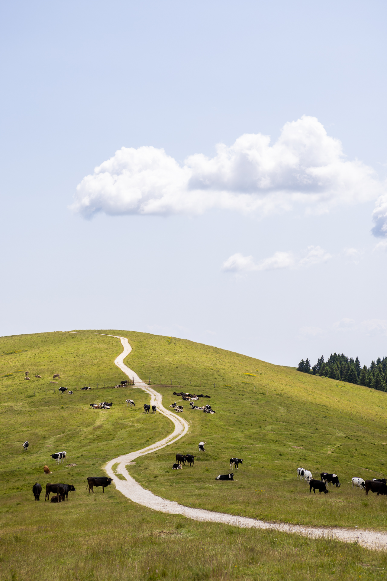
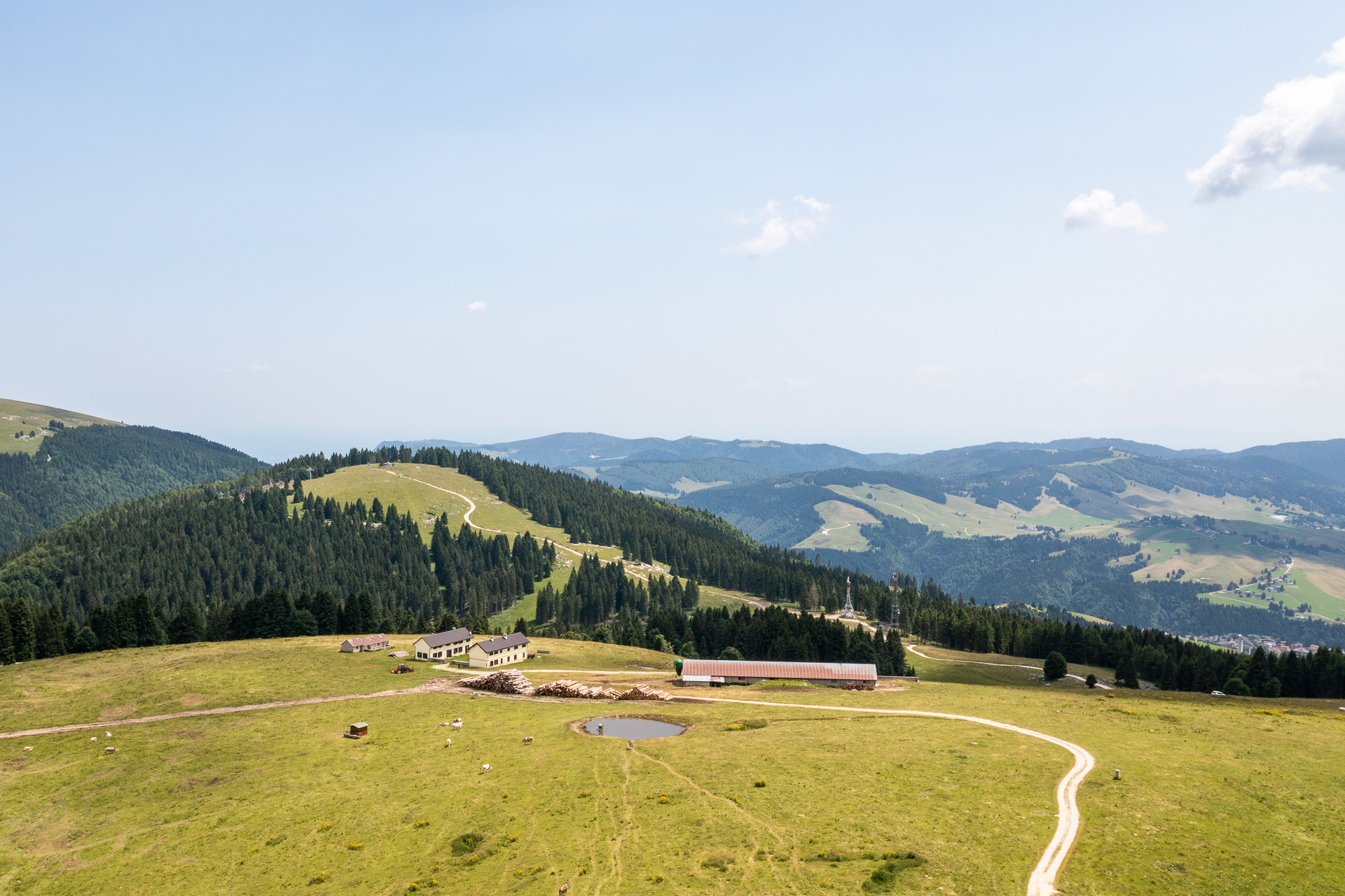
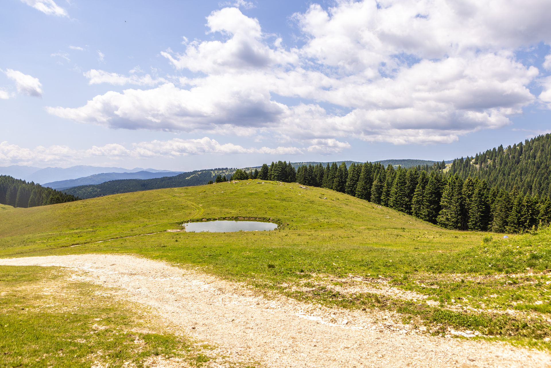
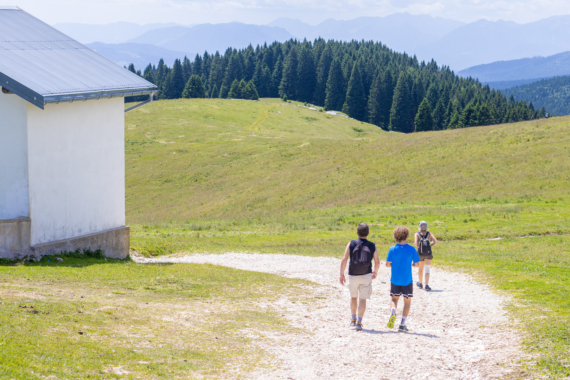
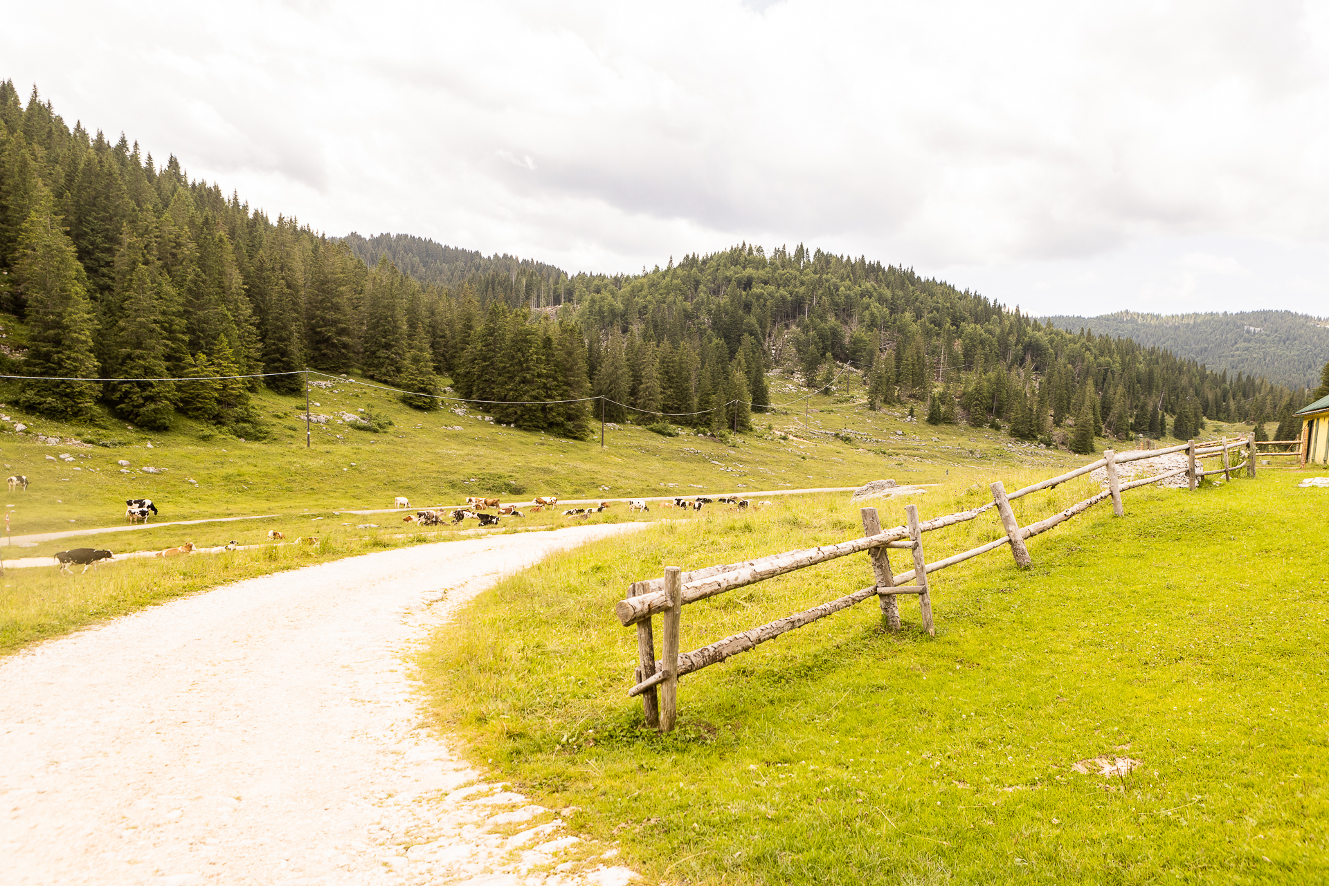
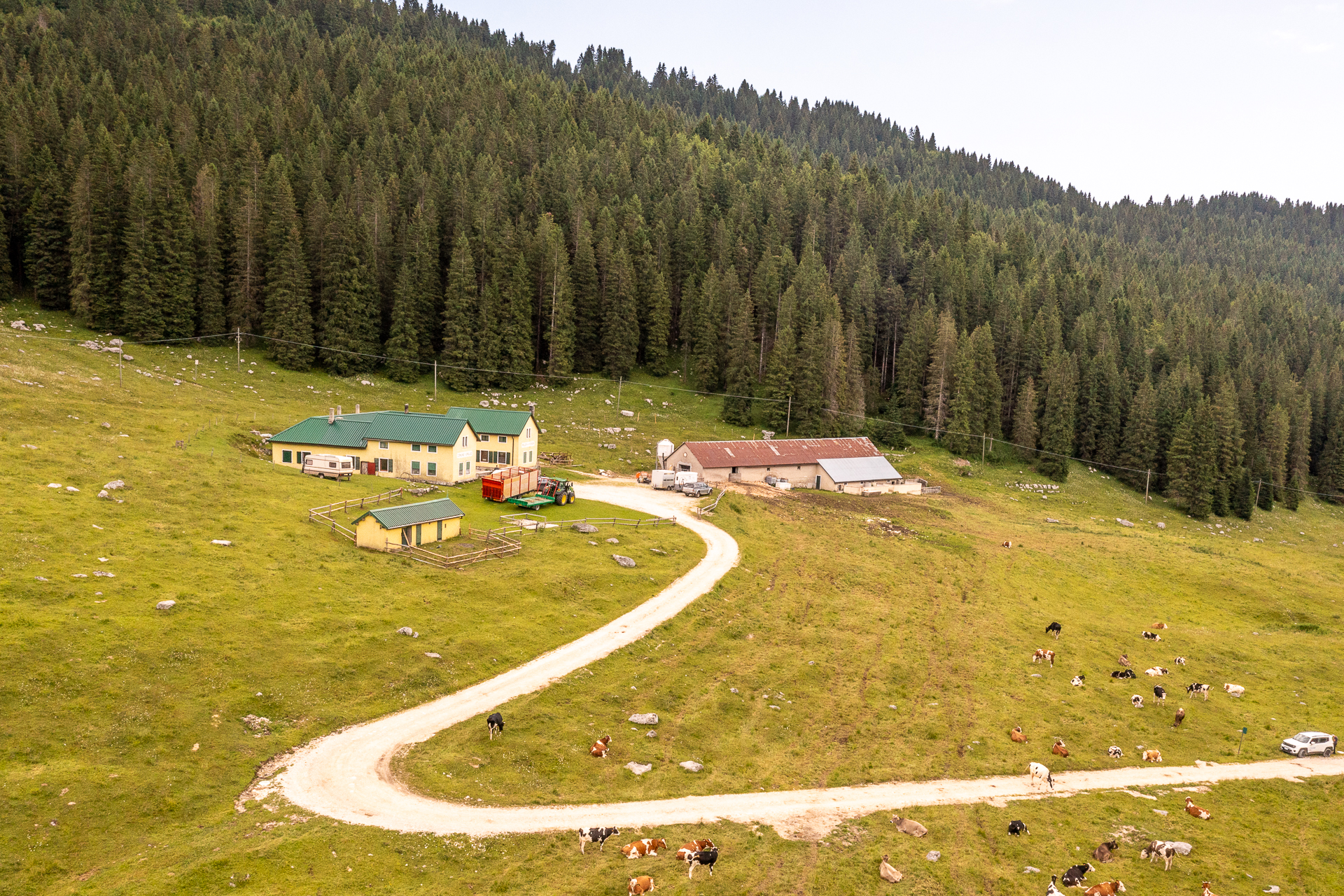
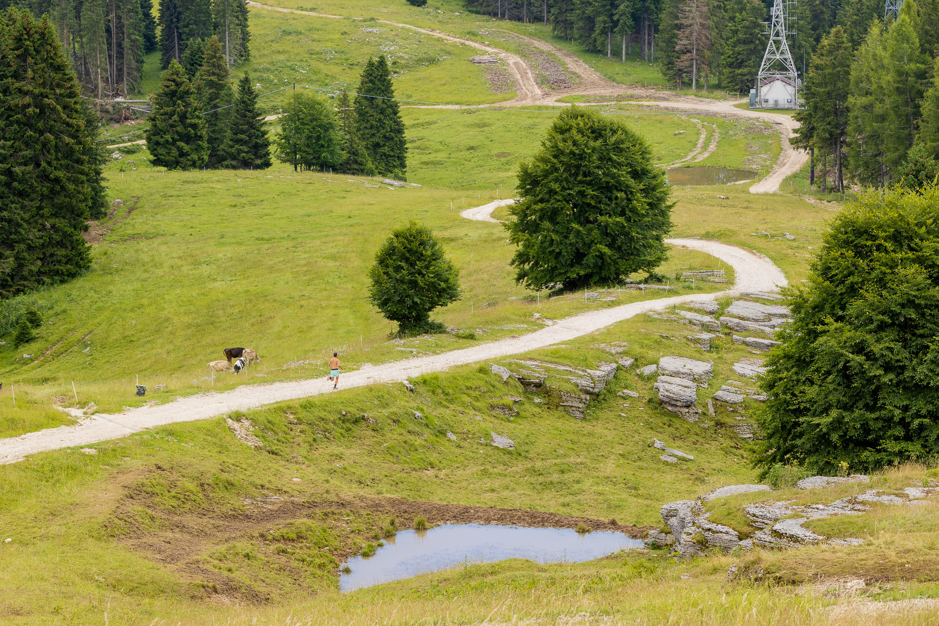
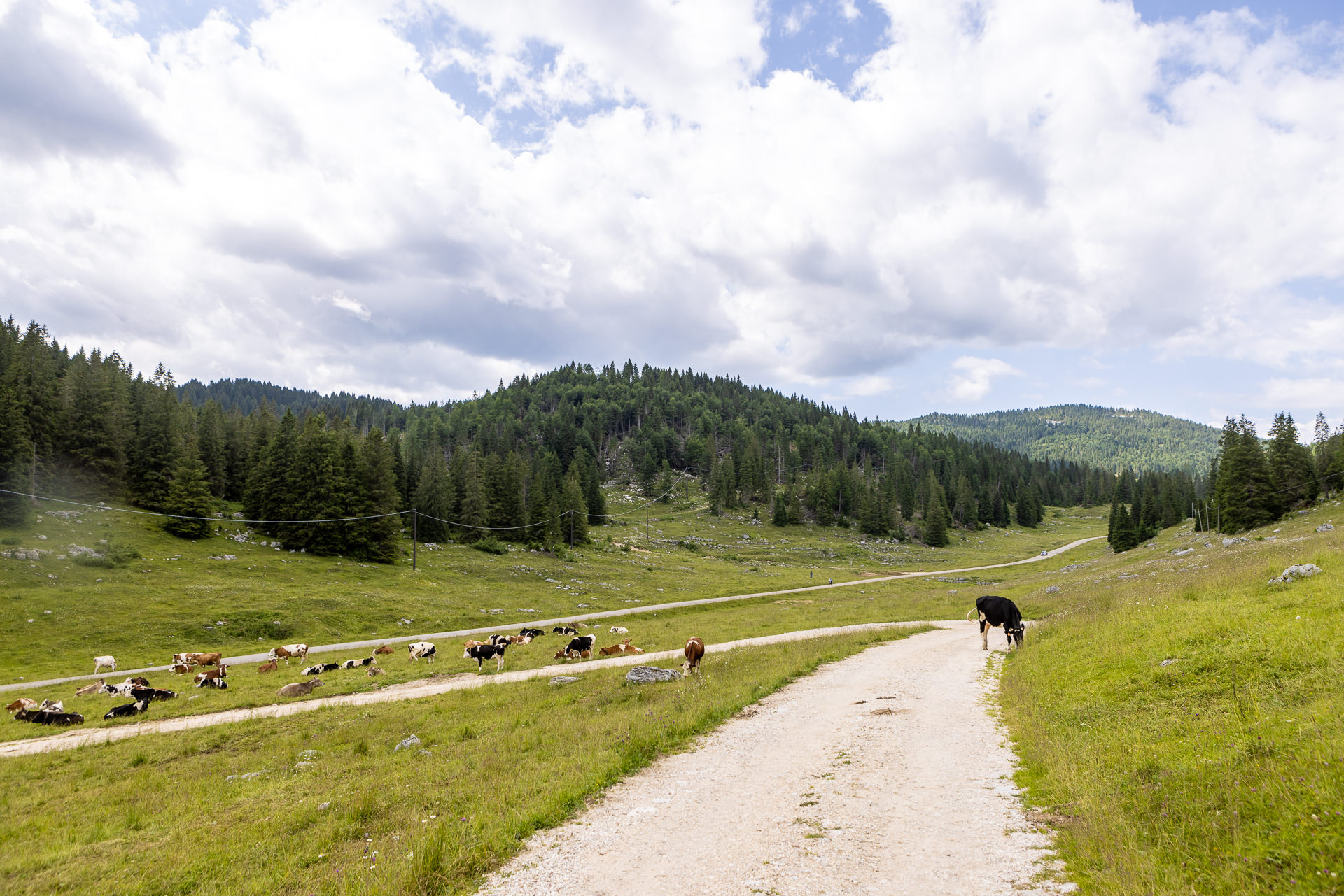
Itinerary suitable for all that allows you to enjoy the scenic view along the entire crest of Monte Baldo, towards the central basin of the Plateau and the surrounding hills. Along the path, various signs of the Great War can be found, including the remains of trenches in the Monte Ongara and Monte Baldo pastures, as well as emplacements and observation points near Monte Cimon…
For information, GPS routes and malgas along the path:

Find out more

Tourist spots in the surrounding areas

Environmental and landscaping

  • Scenic views of the Gallio and Foza Melette and the central basin of the Plateau
  • Scenic point from Osservatorio Cimon (Passo della Sedia) with explanatory notice boards on visible scenery and traces of the First World War

Buildings, Monuments, and Museums

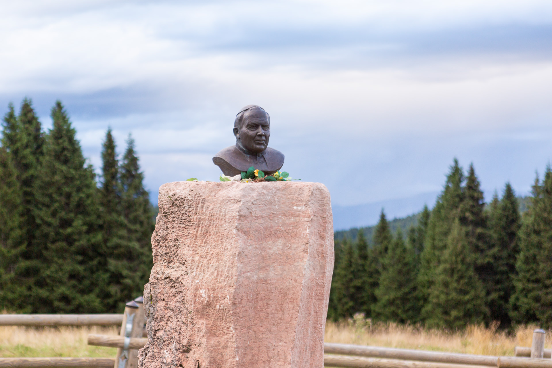
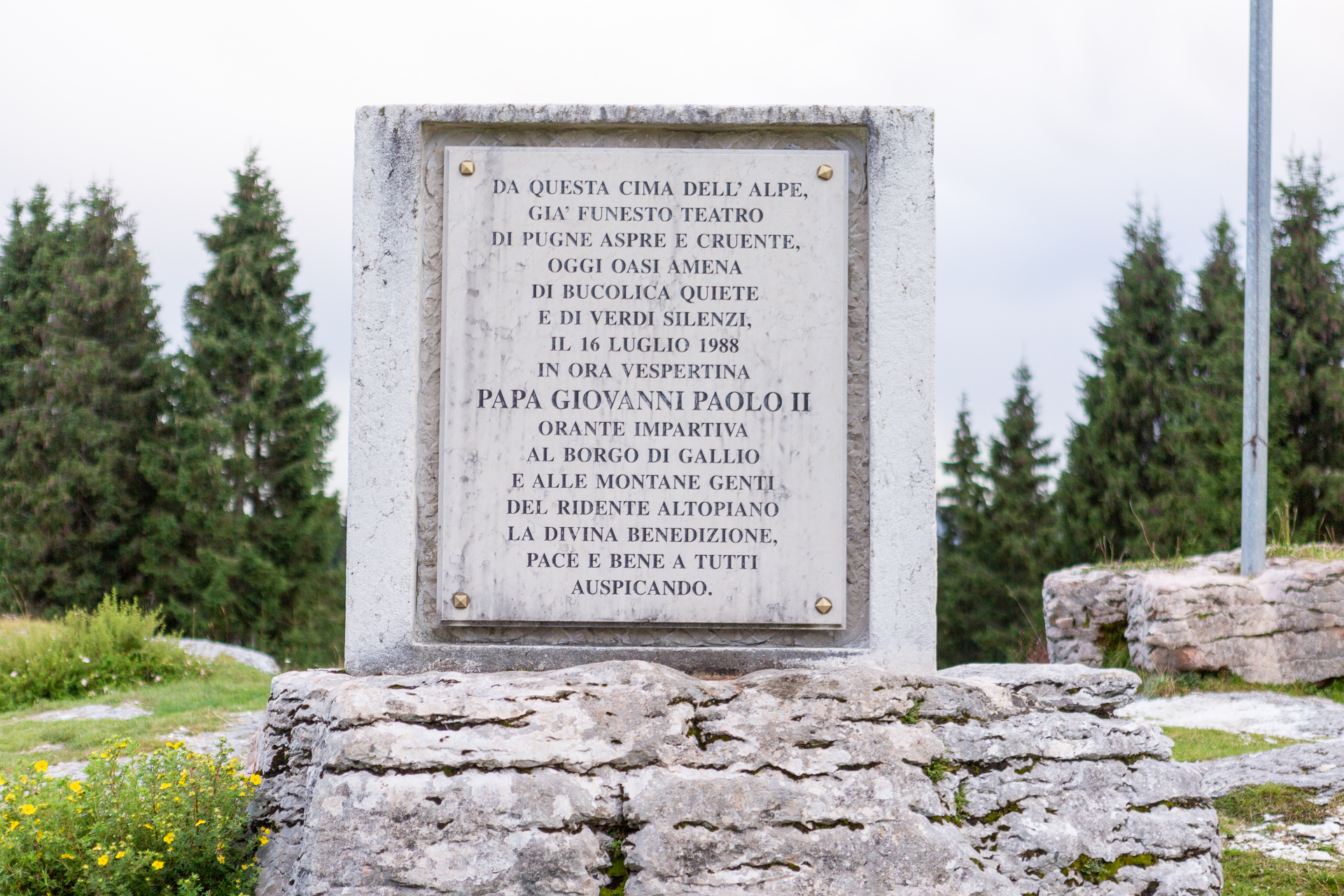
  • ALTAR Pope John Paul II who, in July 1988, stopped to bless Gallio and Asiago (near the crossroads for Passo della Sedia).
  • Church of the fallen (Gallio)
Other itineraries/sites nearby
  • Sentiero del Silenzio (Trail of Silence), Porta della Memoria (Door of Memory) (departure from Campomuletto)
  • CAI Gallio/Fiara Trail (from the center of Gallio)

Winter sports nearby

  • Ski Area “LeMelette”
  • Campomulo Cross-Country Center, one of the most famous on a European level
  • Busafonda ice skating rink
Find out more
Other itineraries/sites nearby
  • Sentiero del Silenzio (Trail of Silence), Porta della Memoria (Door of Memory) (departure from Campomuletto)
  • CAI Gallio/Fiara Trail (from the center of Gallio)

Winter sports nearby

  • Ski Area “LeMelette”
  • Campomulo Cross-Country Center, one of the most famous on a European level
  • Busafonda ice skating rink
Find out more
Lungo la dorsale di Longara - Along the ridge of Longara - Auf dem Bergrücken von Longara


  • Home
  • The project
  • Press conference and Press kit
  • Malgas
  • Itineraries
  • Contacts
  • Home
  • The project
  • Press conference and Press kit
  • Malgas
  • Itineraries
  • Contacts

Initiative financed by the Veneto rural development program 2014-2020
Authority responsible for information: Unione Montana Spettabile Reggenza dei Sette Comuni
Managing authority: Regione del Veneto – Direzione AdG FEASR Bonifica e Irrigazione

logo_reggenza2
regione-veneto
GAL_500
Facebook Instagram Youtube

© Unione Montana Spettabile Reggenza dei Sette Comuni ASIAGO ENEGO FOZA GALLIO LUSIANA CONCO ROANA ROTZO
Piazza Stazione – 36012 Asiago (VI) – All rights reserved – Cookie Policy | Privacy Policy | Website by Veneto Marketing

Go to Top